Log in to your account

AroundUs is a community-driven map of interesting places, built by curious explorers like you. It grows with every review, story, and photo you share.
Connect to save your favorite spots, contribute locations, and create personalized routes.
Continue with Google
Continue with Apple
Continue with X
Continue with Facebook
Continue with email
By continuing, you accept our Terms and Conditions and our Privacy Policy
Create an account

Garhbeta II community development block

Add to collection
Map
Suggest a change
Share

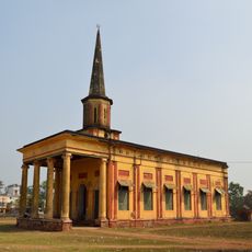
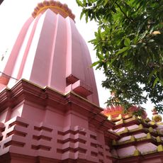
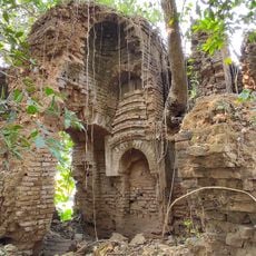
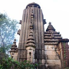
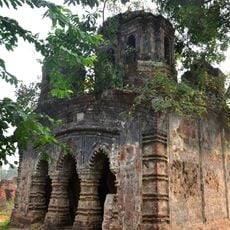
Garhbeta II community development block, Administrative block in Medinipur Sadar subdivision, India.

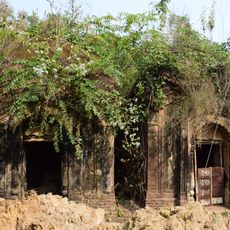
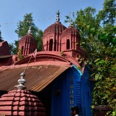
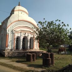
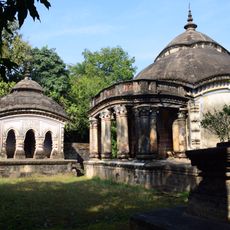
Garhbeta II is an administrative block in Medinipur Sadar subdivision comprising several villages and settlements spread across the region. The terrain sits about 38 meters above sea level with alluvial and lateritic soils that characterize the landscape.

The block was established as an administrative unit to improve governance and foster local development in the region. A period of significant social tensions unfolded between 2009 and 2011, when security measures intensified across the area.

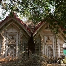
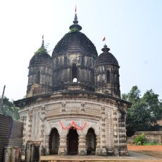
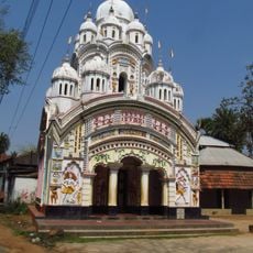
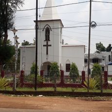
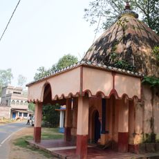
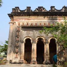
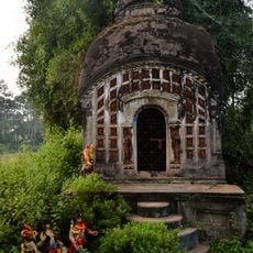
The region is home to diverse communities who maintain their distinct languages and traditions in everyday life. Bengali and Santali are widely spoken here, shaping the character of villages and local gatherings.

The area is well connected by State Highway 4 and regular bus routes, making travel between villages and the subdivision straightforward. A rural hospital, two health centers, and numerous schools provide essential services for residents and visitors passing through.

Few visitors realize this block became a focus for development efforts in the 2000s, with particular attention to lifting families out of poverty. The blend of traditional rural life and modern infrastructure projects creates an interesting example of rural change.

Location: Medinipur Sadar subdivision

Elevation above the sea: 38 m

Shares border with: Sarenga community development block, Simlapal community development block, Taldangra community development block, Garhbeta I community development block, Garhbeta III community development block, Salboni community development block, Binpur I community development block

GPS coordinates: 22.71000,87.17100

Latest update: December 12, 2025 12:01

Photos
Reviews

Visited this place? Tap the stars to rate it and share your experience / photos with the community! Try now! You can cancel it anytime.

« Garhbeta II community development block - Administrative block in Medinipur Sadar subdivision, India » is provided by Around Us (aroundus.com). Images and texts are derived from Wikimedia project under a Creative Commons license. You are allowed to copy, distribute, and modify copies of this page, under the conditions set by the license, as long as this note is clearly visible.

Discover hidden gems everywhere you go!

From secret cafés to breathtaking viewpoints, skip the crowded tourist spots and find places that match your style. Our app makes it easy with voice search, smart filtering, route optimization, and insider tips from travelers worldwide. Download now for the complete mobile experience.

Around Us App Screenshot

A unique approach to discovering new places

Le Figaro

All the places worth exploring

France Info

A tailor-made excursion in just a few clicks

20 Minutes