Enable Location

We need your location to show you interesting places around you

Discover nearby places

Find interesting locations and hidden gems around you

Precise directions

Get accurate directions and distances to places

Your location is never shared with other users. It's only used when you tap the location button.

Log in to your account

Start exploring — it's free

Trusted by 68,077 travelers worldwide

Continue with Google
Continue with Apple
or

We will send you a code to connect

By continuing, you accept our Terms and Conditions and our Privacy Policy

Check your inbox

We've sent a pincode in your inbox. Please enter the code below.

Garhbeta I community development block
Discussion Reviews Photo
3.9k Popularity

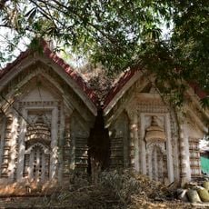
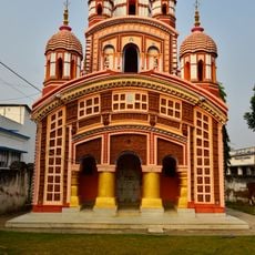
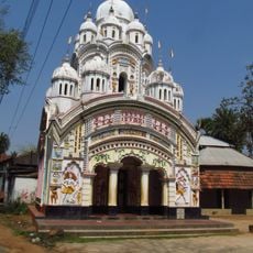
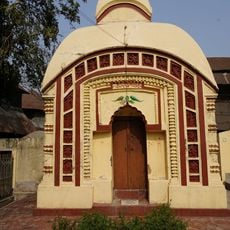
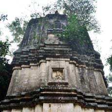
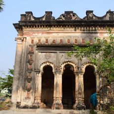
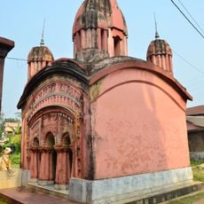
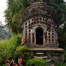
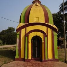
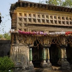
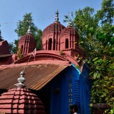
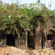
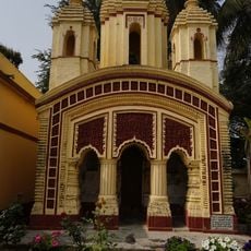
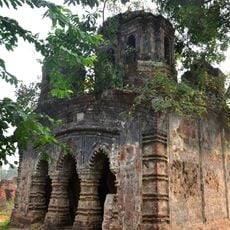
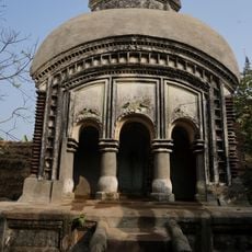
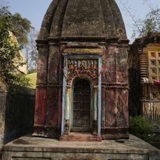
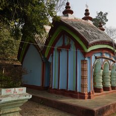
Garhbeta I community development block, Administrative block in Medinipur Sadar subdivision, India.

Garhbeta I is an administrative block in Medinipur Sadar subdivision that covers a rural area in West Bengal. The block comprises several villages and smaller towns connected by local roads and railway lines.

The block was established as an administrative division of Paschim Medinipur district to support local development and governance in this rural area. This organizational structure enables the region to manage its own affairs at the community level.

The population speaks Bengali as the primary language, with 75 percent following Hinduism and 22 percent practicing Islam according to census data.

The area is crossed by the Kharagpur-Adra railway line, which offers travellers connections to larger cities. For medical care, a rural hospital and several health centers are available.

The Silabati River flows through the region and causes regular flooding during the monsoon season. This natural water movement has long shaped the way of life and farming practices of the local communities.

The community of curious travelers

AroundUs brings together thousands of curated places, local tips, and hidden gems, enriched daily by 60,000 contributors worldwide.

Start exploring
Elevation above the sea
41 m
Shares border with
Taldangra community development block, Bishnupur community development block, Joypur community development block, Goghat II community development block, Chandrakona I community development block, Chandrakona II community development block, Garhbeta III community development block, Garhbeta II community development block
GPS coordinates
22.86000,87.36000
Latest update
December 11, 2025 18:04
Reviews
Share your experience

No review yet

Discussions
Start a discussion...

No discussion yet

« Garhbeta I community development block - Administrative block in Medinipur Sadar subdivision, India » is provided by Around Us (aroundus.com). Images and texts are derived from Wikimedia project under a Creative Commons license. You are allowed to copy, distribute, and modify copies of this page, under the conditions set by the license, as long as this note is clearly visible.

Discover hidden gems everywhere you go!

From secret cafés to breathtaking viewpoints, skip the crowded tourist spots and find places that match your style. Our app makes it easy with voice search, smart filtering, route optimization, and insider tips from travelers worldwide. Download now for the complete mobile experience.

Around Us App Screenshot

A unique approach to discovering new places

Le Figaro

All the places worth exploring

France Info

A tailor-made excursion in just a few clicks

20 Minutes

Around Us
Travel Guide & Maps
Download

Send to your phone

QR Code
1

Open the camera app on your mobile.

2

Point at the QR code with your camera. A notification will appear.

3

Tap the notification to open the link.