Hirbandh community development block, Community development block in Khatra subdivision, India
Hirbandh is an administrative block in Bankura district that covers a rural area spanning multiple villages and settlements. The block functions as a local administrative unit organizing basic services for residents.
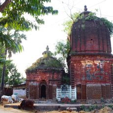
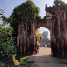
The area was ruled by Hindu kings until 1760, then came under British administration, bringing significant changes to how the region was organized. This transition laid the foundation for how local governance works today.
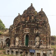
The population represents a mix of social groups whose traditions shape daily life and appear in local celebrations and customs. Traditional crafts remain alive in the region and are passed down through generations.
The block has multiple schools and a hospital providing basic education and health services. Visitors should expect rural conditions and allow time for getting oriented.
Most people work as agricultural laborers, while a special craft of silk weaving producing Baluchari saris has shaped the region for generations. This specialized textile art has been passed down and links economic activity with cultural heritage.
Location: Khatra subdivision
Elevation above the sea: 123 m
Shares border with: Indpur community development block, Khatra community development block, Manbazar I community development block, Puncha community development block
GPS coordinates: 23.06339,86.80229
Latest update: December 12, 2025 14:23
Dhalbhum
13.9 km
Siddheshwar temple
45.8 km
Samantabhum
32.3 km
Шушуния тавында мәгарә гыйбадәтханәсе
40.6 km
Chhatna semaphore tower
32.3 km
Rock Inscription of Chandra Varman
41.1 km
Surya temple
37.3 km
Radha-Krishna temple
37.3 km
Ekteshwar Shiva Temple
33.1 km
Durga dalan of Bandopadhyay Debottar Estate
49.8 km
Shyam Sundar temple
13.8 km
Girigovardhan Temple
49.8 km
Shridhar temple
29.4 km
Shrirampurpara pancharatna temple
29.3 km
Lakshmi Janaradan temple
20.8 km
Jhulan temple
49.8 km
Arra semaphore tower
34.4 km
Kashipur Rajbari
43.7 km
Radha Damodar and Bangshi Gopal temple
49.8 km
Balaramjiu temple
31.9 km
Ondagram semaphore tower
42.1 km
Ramsagar semaphore tower
48.6 km
Delta-12
33.2 km
Rangamani Ras Mancha
49.8 km
12 Shiva temples
49.8 km
Pakbirra Museum
16.3 km
Ratha of Bandopadhyay debottar estate
49.8 km
Front gate of Bandopadhyay Debottar Estate
49.8 kmVisited this place? Tap the stars to rate it and share your experience / photos with the community! Try now! You can cancel it anytime.
Discover hidden gems everywhere you go!
From secret cafés to breathtaking viewpoints, skip the crowded tourist spots and find places that match your style. Our app makes it easy with voice search, smart filtering, route optimization, and insider tips from travelers worldwide. Download now for the complete mobile experience.
A unique approach to discovering new places❞
— Le Figaro
All the places worth exploring❞
— France Info
A tailor-made excursion in just a few clicks❞
— 20 Minutes