Sarenga community development block

Log in to your account

AroundUs is a community-driven map of interesting places, built by curious explorers like you. It grows with every review, story, and photo you share.
Connect to save your favorite spots, contribute locations, and create personalized routes.
By continuing, you accept our Terms and Conditions and our Privacy Policy

Sarenga community development block

Add to collection
Map
Suggest a change
Share

Sarenga community development block, Administrative block in Khatra subdivision, India.
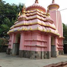
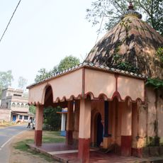
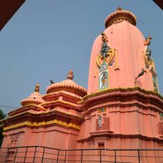
Sarenga is a development block within Khatra subdivision, covering an area of hilly and rocky terrain across multiple villages. The block includes schools, health facilities, and serves a population spread across numerous settlements.

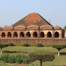
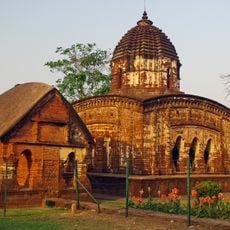
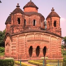
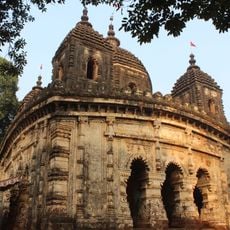
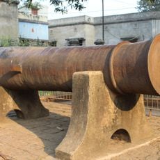
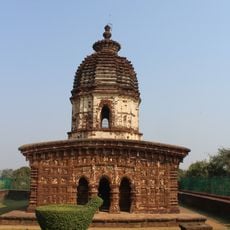
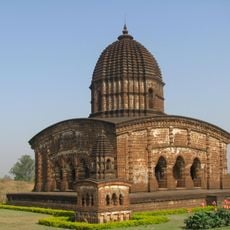
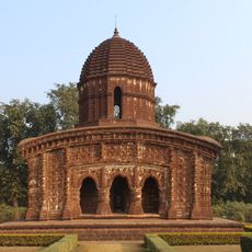
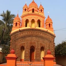
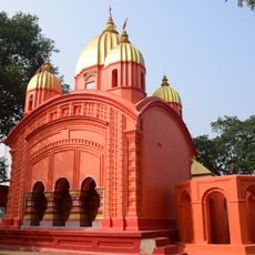
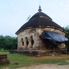
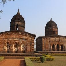
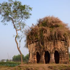
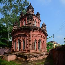
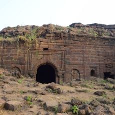
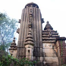
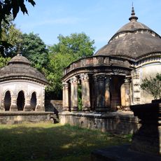
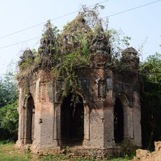
The region came under the rule of Hindu Rajas from Bishnupur starting in the 7th century and remained under their control until British colonial rule began. This long period of continuous governance shaped the area's development over many centuries.

The area is home to several communities that continue practicing traditional crafts including pottery and weaving as part of daily life. These handwork traditions remain central to how many families in the villages earn their living.

The settlements are spread across uneven terrain, so visitors should be prepared for varied ground and local pathways when exploring the area. Moving between villages requires patience and local knowledge to navigate the landscape effectively.

Local artisans produce the distinctive Baluchari silk textiles, a specialized weaving tradition passed down through specific families. This particular craft remains rare and requires extensive skill that has been maintained across generations.

Location: Khatra subdivision

Elevation above the sea: 79 m

Shares border with: Binpur I community development block, Binpur II community development block, Raipur community development block, Simlapal community development block, Garhbeta II community development block

GPS coordinates: 22.76670,87.03330

Latest update: December 11, 2025 18:05

Photos
Reviews

Visited this place? Tap the stars to rate it and share your experience / photos with the community! Try now! You can cancel it anytime.

« Sarenga community development block - Administrative block in Khatra subdivision, India » is provided by Around Us (aroundus.com). Images and texts are derived from Wikimedia project under a Creative Commons license. You are allowed to copy, distribute, and modify copies of this page, under the conditions set by the license, as long as this note is clearly visible.

Discover hidden gems everywhere you go!

From secret cafés to breathtaking viewpoints, skip the crowded tourist spots and find places that match your style. Our app makes it easy with voice search, smart filtering, route optimization, and insider tips from travelers worldwide. Download now for the complete mobile experience.

Around Us App Screenshot

A unique approach to discovering new places

Le Figaro

All the places worth exploring

France Info

A tailor-made excursion in just a few clicks

20 Minutes