Enable Location

We need your location to show you interesting places around you

Discover nearby places

Find interesting locations and hidden gems around you

Precise directions

Get accurate directions and distances to places

Your location is never shared with other users. It's only used when you tap the location button.

Log in to your account

Start exploring — it's free

Trusted by 68,059 travelers worldwide

Continue with Google
Continue with Apple
or

We will send you a code to connect

By continuing, you accept our Terms and Conditions and our Privacy Policy

Check your inbox

We've sent a pincode in your inbox. Please enter the code below.

Simlapal community development block
Discussion Reviews Photo
3.6k Popularity

Simlapal community development block, Administrative block in Khatra subdivision, India

Simlapal is a community development block in the southeastern part of Bankura district, West Bengal. The area contains several villages with educational institutions, rural health facilities, and banking services connected by state highways.

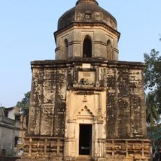
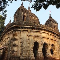
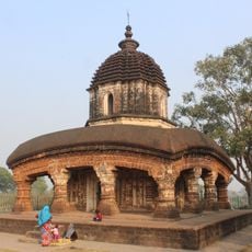
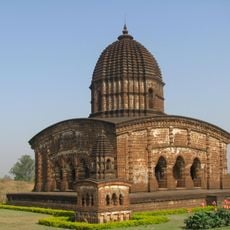
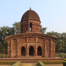
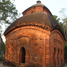
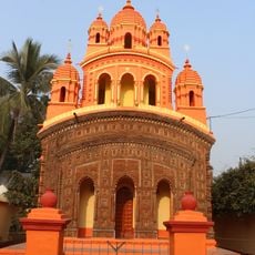
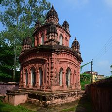
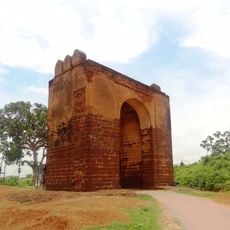
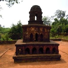
The territory came under control of the Hindu Rajas of Bishnupur from the seventh century until British rule arrived. This long period of traditional governance shaped the region's administrative foundations.

The communities here speak Bengali and Santali and maintain traditional festivals tied to their agricultural cycles. Local life centers around farming seasons and practices passed down through generations.

The block is accessible by state highways and has basic services like schools and rural hospitals available. Visitors should be prepared for rural conditions and use local transportation to move between villages.

The region is known for traditional pottery production carried out by local artisans using techniques passed down for generations. This craft remains an important part of local economic and community life.

The community of curious travelers

AroundUs brings together thousands of curated places, local tips, and hidden gems, enriched daily by 60,000 contributors worldwide.

Start exploring
Elevation above the sea
78 m
Shares border with
Sarenga community development block, Raipur community development block, Khatra community development block, Taldangra community development block, Garhbeta II community development block
GPS coordinates
22.92270,87.07340
Latest update
December 12, 2025 07:51
Reviews
Share your experience

No review yet

Discussions
Start a discussion...

No discussion yet

« Simlapal community development block - Administrative block in Khatra subdivision, India » is provided by Around Us (aroundus.com). Images and texts are derived from Wikimedia project under a Creative Commons license. You are allowed to copy, distribute, and modify copies of this page, under the conditions set by the license, as long as this note is clearly visible.

Discover hidden gems everywhere you go!

From secret cafés to breathtaking viewpoints, skip the crowded tourist spots and find places that match your style. Our app makes it easy with voice search, smart filtering, route optimization, and insider tips from travelers worldwide. Download now for the complete mobile experience.

Around Us App Screenshot

A unique approach to discovering new places

Le Figaro

All the places worth exploring

France Info

A tailor-made excursion in just a few clicks

20 Minutes

Around Us
Travel Guide & Maps
Download

Send to your phone

QR Code
1

Open the camera app on your mobile.

2

Point at the QR code with your camera. A notification will appear.

3

Tap the notification to open the link.