Taldangra community development block, Community development block in Khatra subdivision, India.
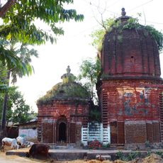
Taldangra is a community development block in the Khatra subdivision of Bankura district, West Bengal, India. It covers a largely rural area made up of scattered villages, rice fields, and gently rolling land typical of this part of the state.
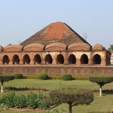
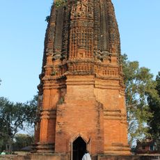
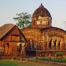
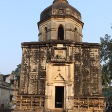
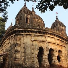
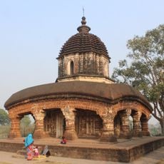
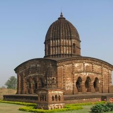
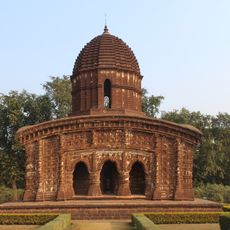
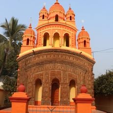
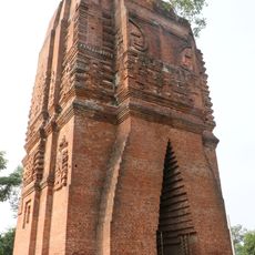
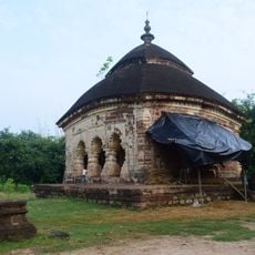
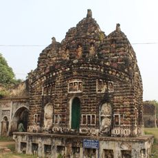
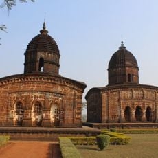
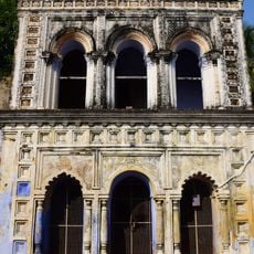
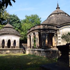
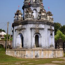
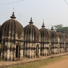
The area was under the rule of the Hindu Rajas of Bishnupur from around the 7th century, before British colonial administration took over in the 18th century. The transition from local royal rule to colonial governance shaped the way the territory was divided and administered.
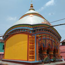
Hindu, Muslim, and tribal communities live side by side in this block, each observing their own festivals and rituals throughout the year. Visiting during a local celebration gives a clear sense of how deeply these traditions shape daily village life.
The block is made up of scattered villages, so it is worth planning your route in advance since distances between settlements can be long. Basic health services are available across the area, but facilities are spread out rather than concentrated in one place.
Farmers in Taldangra grow several different rice varieties, each suited to a specific season or soil condition, a practice that reflects knowledge passed down over many generations. This variety of cultivation methods within a single small block is not always found in other rural areas of the region.
The community of curious travelers
AroundUs brings together thousands of curated places, local tips, and hidden gems, enriched daily by 60,000 contributors worldwide.