
Hollabrunn, District capital in Lower Austria, Austria.
Hollabrunn is a municipality with town privileges in Lower Austria situated along the Göllersbach river. It covers an area of around 152 square kilometers and serves as the district capital, administering 24 surrounding municipalities from its center.
Archaeological evidence shows human settlements in this area since neolithic times. Around 300 BC, a major La Tène culture settlement developed on Sandberg near Roseldorf, marking an important early period for the region.
The Weinviertel region shapes local identity through wine growing and community gatherings throughout the year. Residents and visitors experience this tradition in harvest festivals and wine taverns that define social life here.
The town is easily reached from neighboring communities via direct road connections and offers central services for local administration. Visitors will find here the main locations for commerce and public services that support daily life.
In 1809, Hollabrunn was the site of a significant military confrontation between Austrian and French forces during the War of the Fifth Coalition. This battle remains deeply rooted in local memory and is still recalled in the region today.
Location: Hollabrunn District
Elevation above the sea: 236 m
Shares border with: Grabern, Wullersdorf, Nappersdorf-Kammersdorf, Stronsdorf, Gnadendorf, Ernstbrunn, Großmugl, Göllersdorf, Rußbach, Großweikersdorf, Heldenberg, Ziersdorf, Sitzendorf an der Schmida
Email: stadtgemeinde@hollabrunn.gv.at
Website: https://hollabrunn.gv.at
GPS coordinates: 48.56667,16.08333
Latest update: December 7, 2025 09:24

Justizanstalt Göllersdorf
8.5 km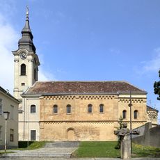
Pfarrkirche Schöngrabern
4.2 km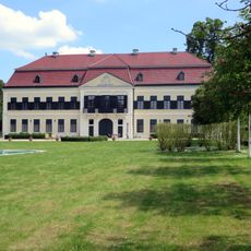
Schloss Glaswein
13.8 km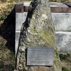
Pinkelstein
2.6 km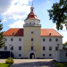
Schloss Sonnberg
3.5 km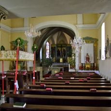
Pfarrkirche hl. Johannes der Täufer, Herzogbirbaum
13.4 km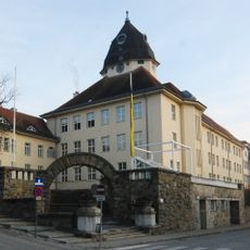
Bundesgymnasium Hollabrunn
923 m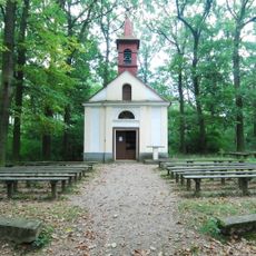
Wallfahrtskapelle Klein Maria Dreieichen
5.6 km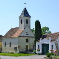
Ortskapelle hl. Agapitus, Steinabrunn
11.1 km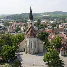
Pfarrkirche Hollabrunn
625 m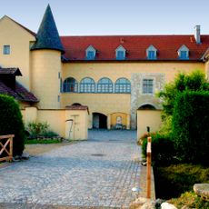
Schloss Groß
7 km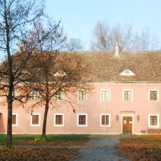
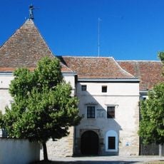
Stadtmuseum Hollabrunn Alte Hofmühle
75 m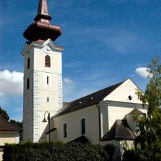
Pfarrkirche Fahndorf, Gemeinde Ziersdorf
8.8 km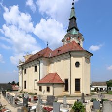
Aspersdorf Kirche
2.3 km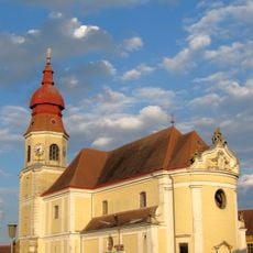
Saint Martin Church
8.7 km
Pfarrkirche Oberthern
8.1 km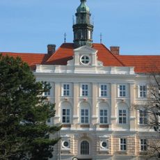
Hollabrunn Erzbischöfliches Knabenseminar
612 m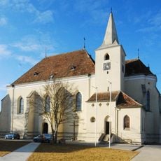
Saint Afra Church
6.8 km
Kreisgrabenanlage Puch
7.8 km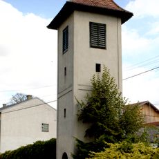
Glockenturm Unterthern
9 km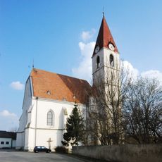
Enzersdorf im Thale Kirche
12.1 km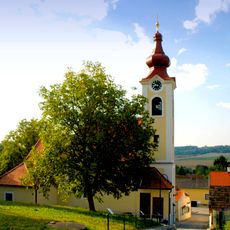
Pfarrkirche Oberfellabrunn, Gemeinde Hollabrunn
5.1 km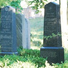
Israelitischer Friedhof
2.6 km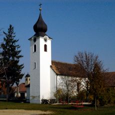
Ortskapelle Altenmarkt
8.4 km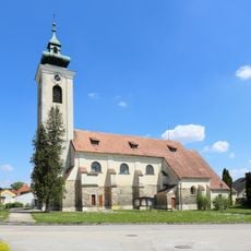
Pfarrkirche hl. Nikolaus Großmugl
13.2 km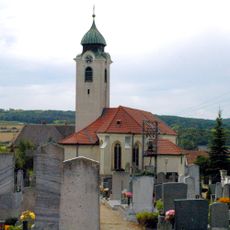
Pfarrkirche Großwetzdorf
11.6 km
Filialkirche Gartenstadt
1.9 km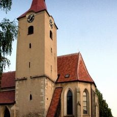
Saint Vitus Church
6.9 kmVisited this place? Tap the stars to rate it and share your experience / photos with the community! Try now! You can cancel it anytime.
Discover hidden gems everywhere you go!
From secret cafés to breathtaking viewpoints, skip the crowded tourist spots and find places that match your style. Our app makes it easy with voice search, smart filtering, route optimization, and insider tips from travelers worldwide. Download now for the complete mobile experience.

A unique approach to discovering new places❞
— Le Figaro
All the places worth exploring❞
— France Info
A tailor-made excursion in just a few clicks❞
— 20 Minutes