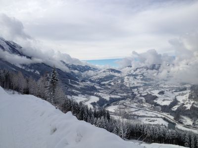
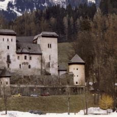
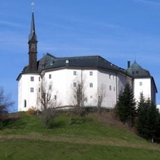
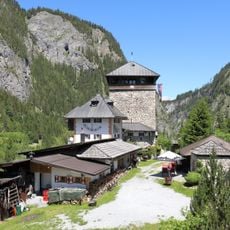
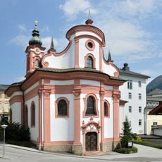
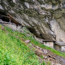
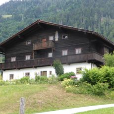
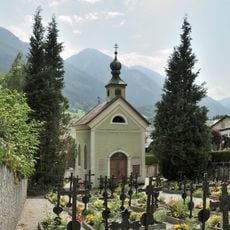
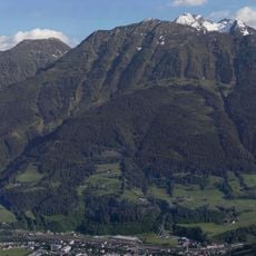
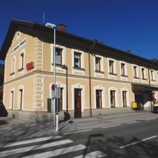
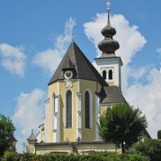
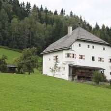
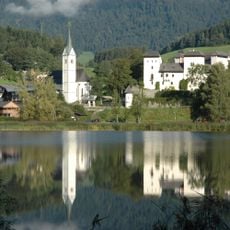
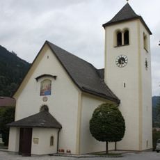
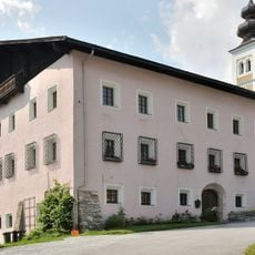
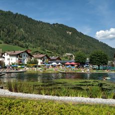
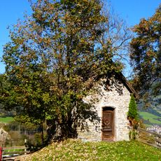
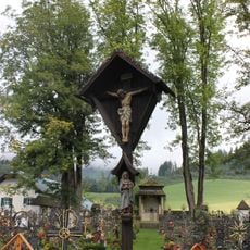
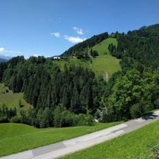
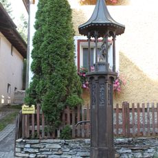
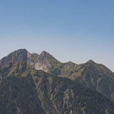
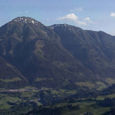
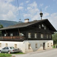
Sankt Veit im Pongau, municipality in St. Johann/Pongau District, Salzburg, Austria
Location: Sankt Johann im Pongau District
Elevation above the sea: 764 m
Shares border with: Mühlbach am Hochkönig
Email: gemeinde@stveitpongau.gv.at
Website: http://gde-stveit.salzburg.at/startseite.htm
GPS coordinates: 47.33056,13.15556
Latest update: March 17, 2025 18:17
Schloss Goldegg
4.4 km
Schloss Schernberg
1.4 km
Klammstein Castle
8.6 km
Spitalskaplaneikirche
970 m
Entrische Kirche
7.8 km
Seelackenmuseum
312 m
Cemetery chapel, Schwarzach im Pongau
891 m
Heukareck
4.3 km
St. Johann im Pongau railway station
3.6 km
Veitskirche
325 m
Judenhof
4.8 km
Schaubergwerk Sunnpau
2.6 km
Burgstall Plankenau
2.2 km
Georgskirche (Goldegg im Pongau)
4.4 km
Former courthouse St. Johann im Pongau
4.1 km
Annakirche (Weng)
5.7 km
Parochial House Sankt Veit im Pongau
367 m
Tennkogel
5 km
Schwimmbad St. Veit
220 m
Marienkapelle
2.8 km
Chapel of hosptial Sankt Veit im Pongau
503 m
Friedhofskreuz
4.4 km
Vormarktbrücke, St. Johann im Pongau
3.5 km
Schaubergwerk Sunnpau (Museumsverein St.Veit / UNESCO-Geopark Erz der Alpen)
2.6 km
Florianisäule
4.4 km
Höllwand
5.4 km
Haßeck
6 km
Bauernhaus, Urfahrgut
1.5 kmReviews
Visited this place? Tap the stars to rate it and share your experience / photos with the community! Try now! You can cancel it anytime.
Discover hidden gems everywhere you go!
From secret cafés to breathtaking viewpoints, skip the crowded tourist spots and find places that match your style. Our app makes it easy with voice search, smart filtering, route optimization, and insider tips from travelers worldwide. Download now for the complete mobile experience.
A unique approach to discovering new places❞
— Le Figaro
All the places worth exploring❞
— France Info
A tailor-made excursion in just a few clicks❞
— 20 Minutes