
Oed-Öhling, municipality in Amstetten District, Lower Austria, Austria
Location: Amstetten District
Elevation above the sea: 309 m
Shares border with: Wallsee-Sindelburg, Zeillern, Amstetten, Aschbach-Markt
Email: gemeinde@oed-oehling.gv.at
Website: http://oed-oehling.at
GPS coordinates: 48.10000,14.80000
Latest update: April 14, 2025 01:08

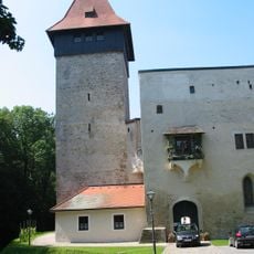
Schloss Ulmerfeld
3.1 km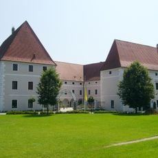
Schloss Zeillern
3.2 km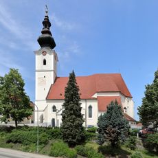
Pfarrkirche Aschbach-Markt
4.5 km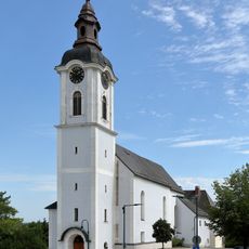
Pfarrkirche hl. Wolfgang, Öhling
96 m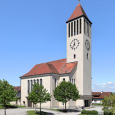
Pfarrkirche Stephanshart
6.6 km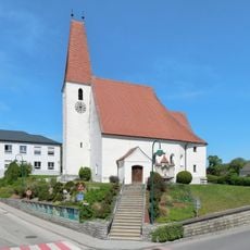
Pfarrkirche hl. Jakobus der Ältere, Zeillern
3.4 km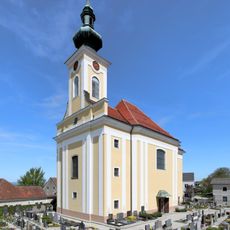
Pfarrkirche Oed bei Oehling
5.1 km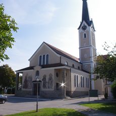
Pfarrkirche hll. Petrus und Paulus Ulmerfeld
3.2 km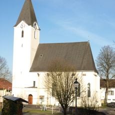
Pfarrkirche Winklarn
3.7 km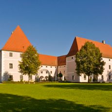
Schloss Zeillern
3.2 km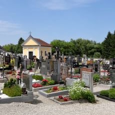
Friedhof Aschbach-Markt
4.5 km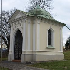
Kriegergedächtniskapelle Öhling
69 m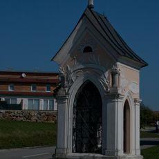
Oberleitnerkapelle
7.8 km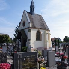
Friedhofskapelle hl. Ulrich
3.4 km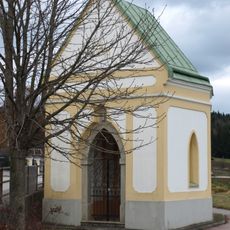
Wegkapelle Oehling
157 m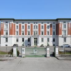
Landesklinikum Mostviertel Amstetten-Mauer
1 km
Pfarrhof Öhling
75 m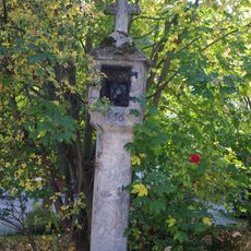
Tabernakelpfeiler Ulmerfeld
3.2 km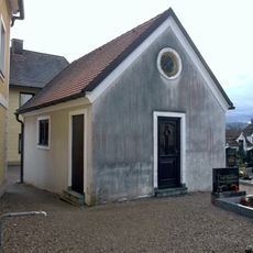
Karner Krenstetten
7.8 km
Pfarrhof Aschbach-Markt
4.6 km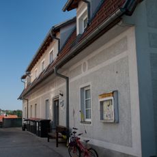
Ehem. Mesnerhaus Aschbach-Markt
4.5 km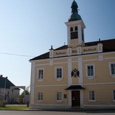
Rathaus Aschbach-Markt
4.8 km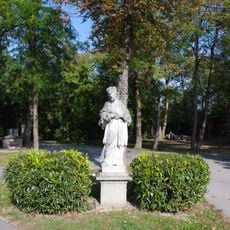
Figurenbildstock, hl. Johannes Nepomuk
2.8 km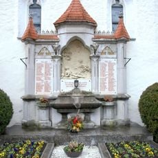
Kriegerdenkmal
3.3 km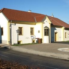
Pfarrhof Winklarn
3.7 km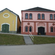
Kellerhaus Öhling
202 m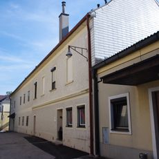
Pfarrhof Ulmerfeld, Amstetten
3.2 km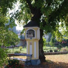
Marialourdes Hausmening
2.9 kmVisited this place? Tap the stars to rate it and share your experience / photos with the community! Try now! You can cancel it anytime.
Discover hidden gems everywhere you go!
From secret cafés to breathtaking viewpoints, skip the crowded tourist spots and find places that match your style. Our app makes it easy with voice search, smart filtering, route optimization, and insider tips from travelers worldwide. Download now for the complete mobile experience.

A unique approach to discovering new places❞
— Le Figaro
All the places worth exploring❞
— France Info
A tailor-made excursion in just a few clicks❞
— 20 Minutes