
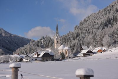
Schöder, municipality in Murau District, Styria, Austria
Location: Murau District
Elevation above the sea: 901 m
Email: gde@schoeder.gv.at
Website: http://schoeder.steiermark.at
GPS coordinates: 47.18222,14.11167
Latest update: March 2, 2025 23:15
Greim
7.9 km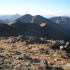
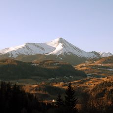
Rettelkirchspitze
8.7 km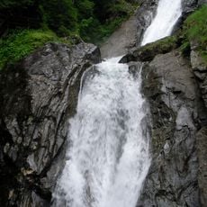
Günstner Wasserfall
3.5 km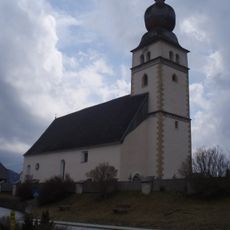
Krakaudorf Pfarrkirche hl. Oswald
7 km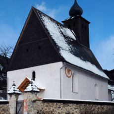
Baierdorf St. Nikolaus, Filialkirche
1.6 km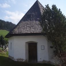
Friedhof Ranten
3.3 km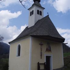
Ranten Pistrachkapelle
6.4 km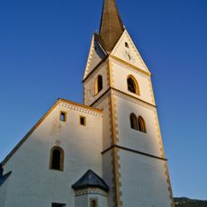
Mariä Geburt
77 m
Hofkapelle Bauernhaus Hofmoar, Schöder
782 m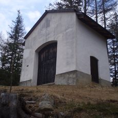
Krakaudorf Kalvarienberg und Kalvarienbergkapelle
6.4 km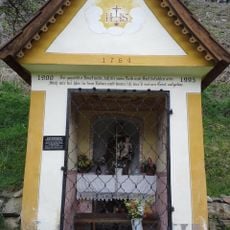
Josefikapelle, Feistritz am Kammersberg
3.8 km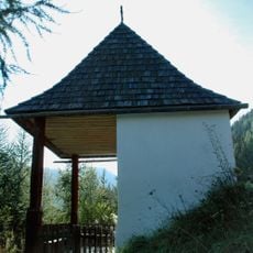
Kalvarienbergkapelle Schöder
237 m
Wegkapelle hl. Johannes Nepomuk (Pestkapelle)
32 m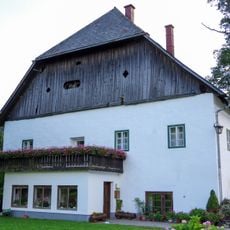
Bauernhaus Hofmoar, Schöder
743 m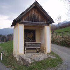
Krakaudorf Franzosenkreuz
6 km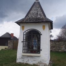
Krakaudorf Bildstock Langmaier-Kreuz
7.1 km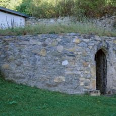
Karner hl. Anna
90 m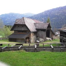
Kötzlmühle, Feistritz am Kammersberg - barn
3.9 km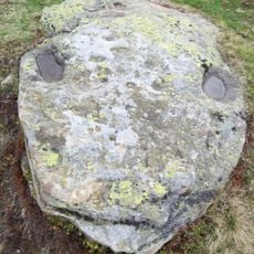
Schalensteine StPeter/Kmbg
6.3 km
Krakaudorf Rotes Kreuz
7.1 km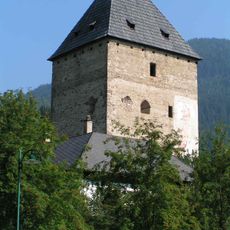
Wehranlage Baierdorf
1.5 km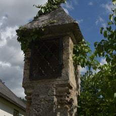
Gotischer Bildstock, Färberkreuz
181 m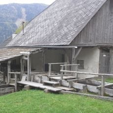
Kötzlmühle, Feistritz am Kammersberg
3.9 km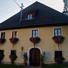
Pfarrhof mit Wirtschaftsgebäude
99 m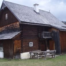
Krakaudorf Koeppl-Keusche
7 km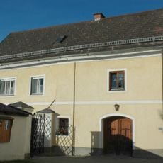
Ehem. Mesnerhaus
53 m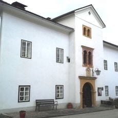
Duscherhaus Schöder
56 m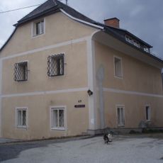
Pfarrhof
7 kmReviews
Visited this place? Tap the stars to rate it and share your experience / photos with the community! Try now! You can cancel it anytime.
Discover hidden gems everywhere you go!
From secret cafés to breathtaking viewpoints, skip the crowded tourist spots and find places that match your style. Our app makes it easy with voice search, smart filtering, route optimization, and insider tips from travelers worldwide. Download now for the complete mobile experience.

A unique approach to discovering new places❞
— Le Figaro
All the places worth exploring❞
— France Info
A tailor-made excursion in just a few clicks❞
— 20 Minutes