
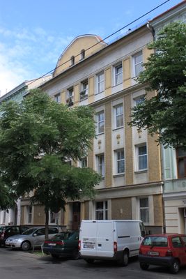
Kommunaler Wohnbau, building in Ottakring, Austria
Location: Ottakring
Address: Rankgasse 34
GPS coordinates: 48.21113,16.30503
Latest update: April 8, 2025 19:39
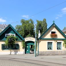
10er Marie
435 m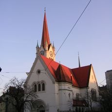
Alt-Ottakringer Pfarrkirche
359 m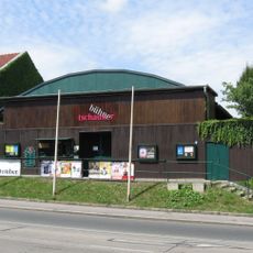
Tschauner-Bühne
351 m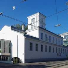
Kornhäusel-Villa
365 m
Markuskirche
336 m
Sever-Hof
227 m
Kreuzbergkapelle, Karl-Kantner-Park
347 m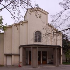
Spitalskirche des Wilhelminenspitals
198 m
Maroltingergasse 54
232 m
Dreifaltigkeitssäule, Karl-Kantner-Park
317 m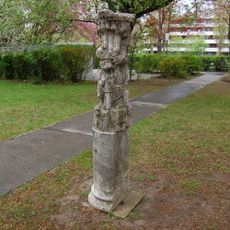
Plastik Flammender Turm
339 m
Montleartstraße 56-60
43 m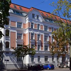
Lobmeyrhof
414 m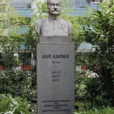
Karl Kantner memorial (Karl-Kantner-Park)
313 m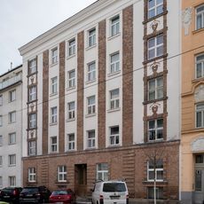
Heim für obdachlose Familien
256 m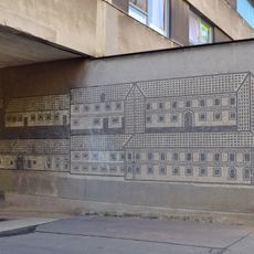
Ottakringer Freihof
412 m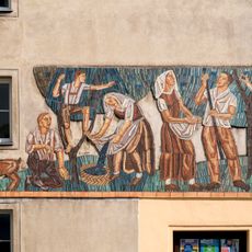
Mosaic Zwetschkenernte by Leopold Schmid
394 m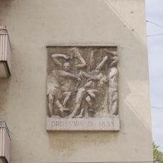
Relief Der große Brand in Ottakring
415 m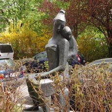
Plastik Mutter und Kind
393 m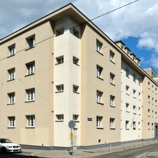
Family asylum saint Elisabeth
265 m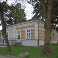
Kinderspital, Pavillons
451 m
Hubert-Pfoch-Hof
298 m
Wohnhausanlage Roseggergasse 44–46
410 m
Wohnhausanlage Roseggergasse 43
267 m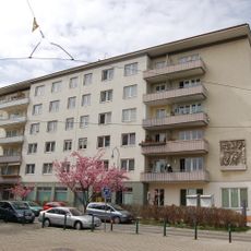
Wohnhausanlage Ottakringer Straße 217–221
394 m
Wohnhausanlage Lorenz-Mandl-Gasse 51–53
140 m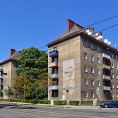
Wohnhausanlage Wernhardtstraße 12–16
324 m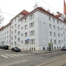
Wohnhausanlage Enenkelstraße 35
441 mReviews
Visited this place? Tap the stars to rate it and share your experience / photos with the community! Try now! You can cancel it anytime.
Discover hidden gems everywhere you go!
From secret cafés to breathtaking viewpoints, skip the crowded tourist spots and find places that match your style. Our app makes it easy with voice search, smart filtering, route optimization, and insider tips from travelers worldwide. Download now for the complete mobile experience.

A unique approach to discovering new places❞
— Le Figaro
All the places worth exploring❞
— France Info
A tailor-made excursion in just a few clicks❞
— 20 Minutes