
Ur- und frühgeschichtliche Fundzone Neubau, Fundzone in Traun (129944)
Location: Traun
Address: Fluren Mitterfeld und Aufeld
GPS coordinates: 48.22289,14.20369
Latest update: March 4, 2025 16:06
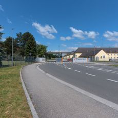
Vogler Aerodrome
825 m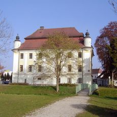
Schloss Traun
2.5 km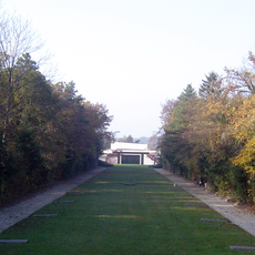
Stadtfriedhof Linz /St. Martin
3.7 km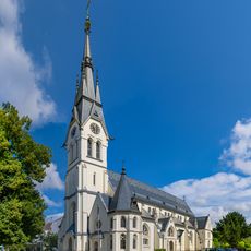
Stadtpfarrkirche Traun
2.6 km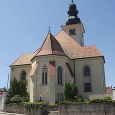
Pfarrkirche Hörsching
1.9 km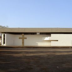
Pfarrkirche Langholzfeld
3.6 km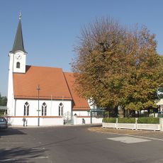
Sankt Michael
4 km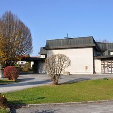
Neue Pfarrkirche Pasching
4 km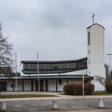
Pfarrkirche Josef der Arbeiter Traun-Oedt
866 m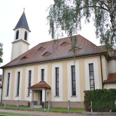
Evangelische Pfarrkirche Traun
2.9 km
Ansfelden City Library
4 km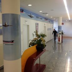
AeronautX Luftfahrtschule
2 km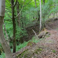
Hangwald Puckinger-Leiten
3.6 km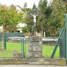
Überreste der abgekommenen Kirche St. Dionysen
3.8 km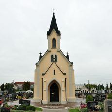
Friedhofskapelle
2.3 km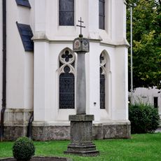
Bildstock
2.6 km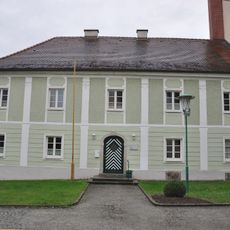
Pfarrhof von St. Dionysius
2.6 km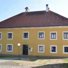
Pfarrhof
4.1 km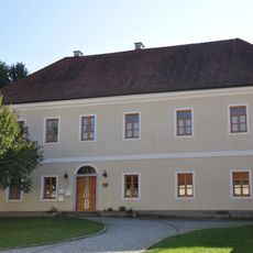
Pfarrhof-Anlage
1.9 km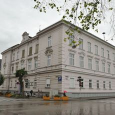
Volksschule Traun, Linzerstraße 7
2.6 km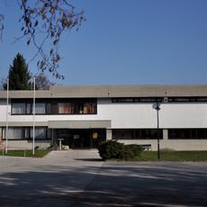
Pfarrzentrum
3.6 km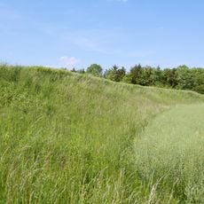
Niederterrassenböschung in Traun
1.5 km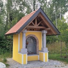
Wayside chapel (power plant Traun-Pucking)
2.5 km
Mesnerhaus, ehem. Schule
2 km
Kindergarten und Pfarrhof
3.6 km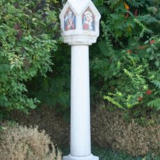
Bildstock Traunerstrasse
871 m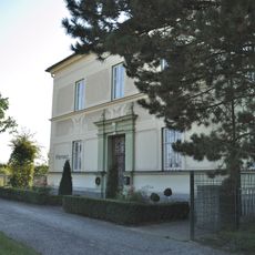
Pfarrhof
3.9 km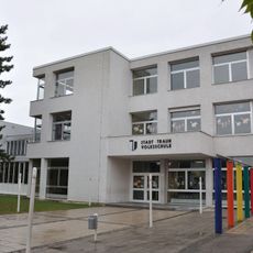
Volksschule
3.5 kmReviews
Visited this place? Tap the stars to rate it and share your experience / photos with the community! Try now! You can cancel it anytime.
Discover hidden gems everywhere you go!
From secret cafés to breathtaking viewpoints, skip the crowded tourist spots and find places that match your style. Our app makes it easy with voice search, smart filtering, route optimization, and insider tips from travelers worldwide. Download now for the complete mobile experience.

A unique approach to discovering new places❞
— Le Figaro
All the places worth exploring❞
— France Info
A tailor-made excursion in just a few clicks❞
— 20 Minutes