Türnitzer Höger, Mountain summit in Türnitz Alps, Austria.
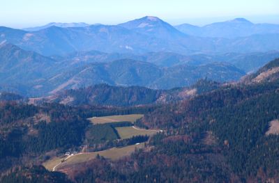
Türnitzer Höger is a mountain summit at 1,372 meters in the Türnitz Alps with marked trails passing through forests and alpine meadows. The terrain combines forested sections with open slopes that offer changing views depending on where you stand on the mountain.
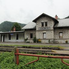
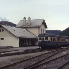
The mountain has been used since medieval times as a passage route between valleys, shaping how people moved through the region. Those old routes remain visible today as the hiking trails and show centuries of continuous travel through this landscape.
The shelter near the summit serves as a meeting place where hikers from different areas gather and share their mountain experiences. Locals continue the tradition of using this spot as a waypoint when crossing between valleys.
The ascent requires average fitness and takes around two hours on a well-marked route with about 500 meters of elevation gain. Good footwear and weather protection are important, as the upper areas can experience changing conditions quickly.
The peak stands out distinctly among its neighbors and serves as a landmark visible across the northern mountain landscape, making it a favored destination for those seeking the best panoramic views. Its prominent position has made it one of the most recognizable silhouettes in the Türnitz Alps.
The community of curious travelers
AroundUs brings together thousands of curated places, local tips, and hidden gems, enriched daily by 60,000 contributors worldwide.