
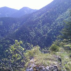
Laussnitzhöhe, mountain in Austria
Location: Rennweg am Katschberg
Location: Sankt Margarethen im Lungau
Elevation above the sea: 1,589 m
GPS coordinates: 47.04046,13.67498
Latest update: March 11, 2025 08:30
Schwarzwand
3.9 km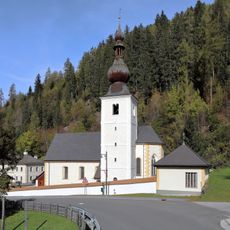
Pfarrkirche Thomatal
6.6 km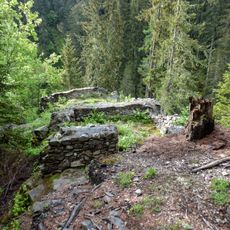
Burgruine Edenvest
5.4 km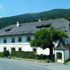
Heihsgut
6.8 km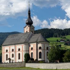
Kirche Sankt Georgen im Katschtal
5 km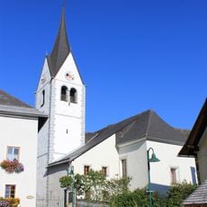
Kirche Sankt Peter im Katschtal
6.2 km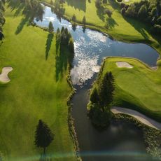
Golfclub Lungau / Katschberg
5.6 km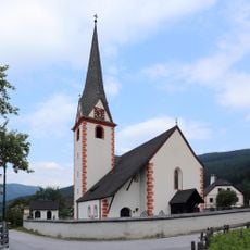
Pfarrkirche hl. Margaretha, Sankt Margarethen im Lungau
4.6 km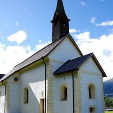
Filialkirche hl. Augustinus, St. Margarethen im Lungau
4.6 km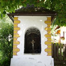
Thomannbauernkreuz
6.7 km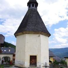
Annakapelle, ehem. Rochuskapelle
6.8 km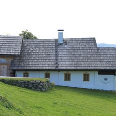
Felflitzer-Keusche
5.2 km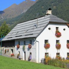
Urtaler Haus, Sankt Peter im Katschtal
6 km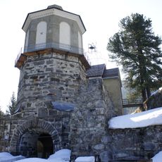
Hochofen, Bundschuh
3 km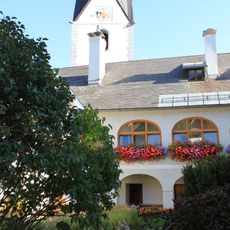
Pfarrhof Sankt Peter im Katschtal
6.2 km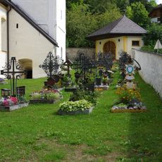
Kirchhof Thomatal
6.6 km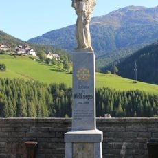
Kirche Sankt Peter im Katschtal - Kriegerdenkmal
6.2 km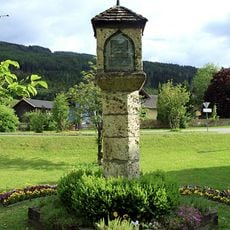
Tannhäuser-Bildstock
5 km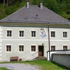
Pfarrhof Thomatal
6.6 km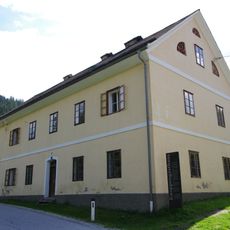
Knappengasthaus, Bundschuh
2.9 km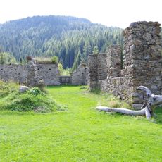
Kohlenbarren, Bundschuh
3 km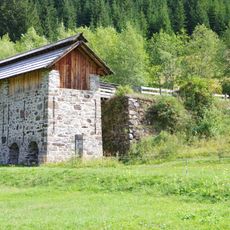
Röstofen, Bundschuh
3 km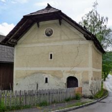
Mentenwirtskasten
6.8 km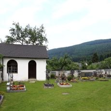
Kirchhof
4.6 km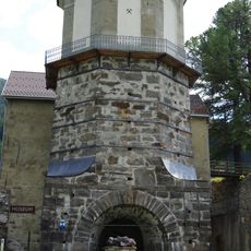
Hochofenmuseum Bundschuh
3 km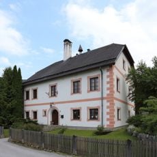
Pfarrhof
4.6 km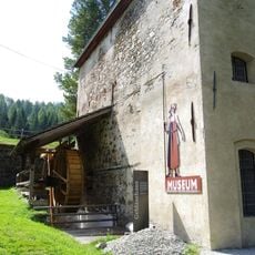
Gebläsehaus, Bundschuh
3 km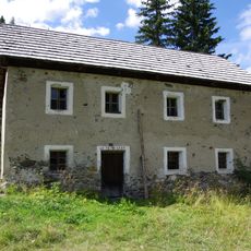
Knappenhaus
3 kmReviews
Visited this place? Tap the stars to rate it and share your experience / photos with the community! Try now! You can cancel it anytime.
Discover hidden gems everywhere you go!
From secret cafés to breathtaking viewpoints, skip the crowded tourist spots and find places that match your style. Our app makes it easy with voice search, smart filtering, route optimization, and insider tips from travelers worldwide. Download now for the complete mobile experience.

A unique approach to discovering new places❞
— Le Figaro
All the places worth exploring❞
— France Info
A tailor-made excursion in just a few clicks❞
— 20 Minutes