
Schulkreuzkapelle, building in Hollenstein an der Ybbs, Austria
Location: Hollenstein an der Ybbs
GPS coordinates: 47.80171,14.77651
Latest update: March 23, 2025 05:12

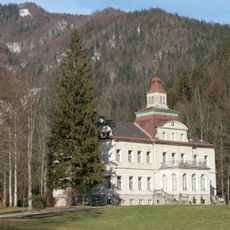
Schloss Hohenlehen
6.4 km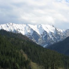
Gamsstein
8 km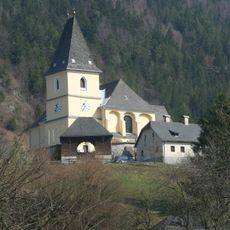
Pfarrkirche Hollenstein an der Ybbs
124 m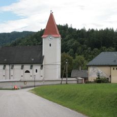
Saint George Church
8.7 km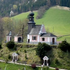
Kalvarienberg
218 m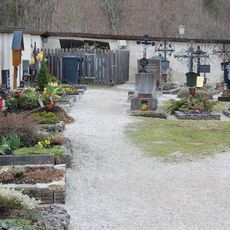
Friedhof christlich
8.7 km
Hammerhaus, Ruine des Hammergebäudes, Wegkapelle
3.1 km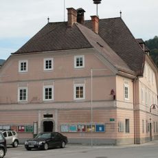
Rathaus/Gemeindeamt
411 m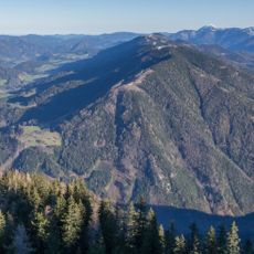
Schwarzkogel
6.8 km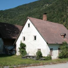
Bauernhaus, vulgo Wieden
1.6 km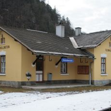
Bahnhof Kleinhollenstein
3.5 km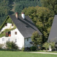
Bauernhaus, sog. Haus Haberfeld
3.1 km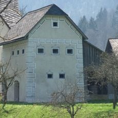
Körnerkasten Opponitz
8.5 km
Wohnhaus, sog. Stiftshaus
228 m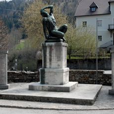
Kriegerdenkmal
44 m
Wohnhaus, sog. Steinhaus
364 m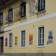
Gasthaus Zur goldenen Sense
331 m
Wohnhaus
3.7 km
Wohnhaus, ehem. Pfarrhof
89 m
Gugermühle
1.2 km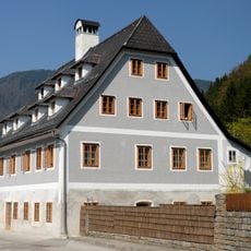
Ehem. Hammerherrenhaus Kalchau
898 m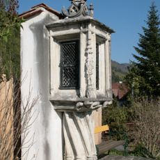
Bildstock Kreuzwag
510 m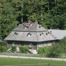
Altes Forsthaus Sandgraben
5.3 km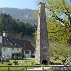
Ehem. Hammerherrenhaus mit zwei Essen
829 m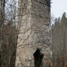
Schmiedehammer (Esse mit Pyramidenschlot)
8.2 km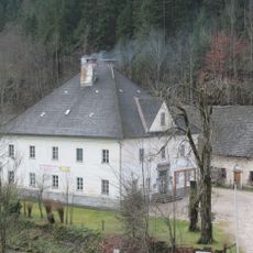
Ehem. Hammerherrenhaus
8.4 km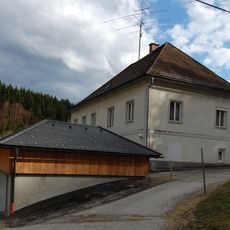
Pfarrhof und Salettl
8.3 km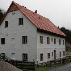
Wohnhaus
8.2 kmReviews
Visited this place? Tap the stars to rate it and share your experience / photos with the community! Try now! You can cancel it anytime.
Discover hidden gems everywhere you go!
From secret cafés to breathtaking viewpoints, skip the crowded tourist spots and find places that match your style. Our app makes it easy with voice search, smart filtering, route optimization, and insider tips from travelers worldwide. Download now for the complete mobile experience.

A unique approach to discovering new places❞
— Le Figaro
All the places worth exploring❞
— France Info
A tailor-made excursion in just a few clicks❞
— 20 Minutes