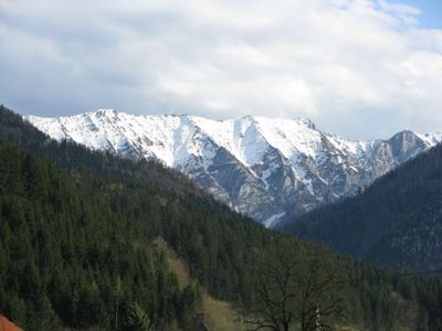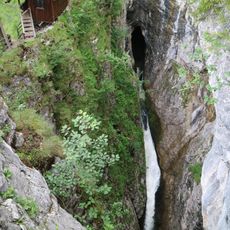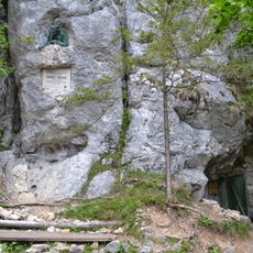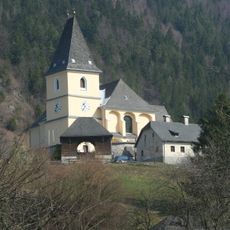
Gamsstein, Mountain summit in Hollenstein an der Ybbs, Austria.
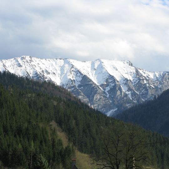
Gamsstein is an isolated massif in the Ybbstal Alps whose highest summit, the Hochkogel, reaches 1,774 m on the Styria–Lower Austria border. Its roughly three-kilometre ridge runs from southwest to northeast, first reaching the 1,766 m Gamssteineck and then the Hochkogel, separated by a notch. The massif is built mainly of Wetterstein limestone, with Haselgebirge, Reifling and Lunz formations at its southern foot and Hauptdolomit on the lower northern side.
The first written record of the massif dates from 1139, when it appeared as "Kamezenstein". The name derives from Slavic Kamenica (quarry, stony place) combined with Old High German stein. In 1871 Wilhelm Schleicher published the first route descriptions in the yearbook of the Oesterreichischer Alpen-Verein, opening the mountain to organised tours.
The name Gamsstein derives from the 1139 record "Kamezenstein", from Slavic Kamenica (stony place, quarry) and Old High German stein. The Bergbauern-Lackneralmhütte of the Naturfreunde at 1020 m on the south side is staffed at weekends in summer. A summit cross stands on the 1770 m pre-summit, about 250 m northeast of the main top.
Reaching the summit requires solid physical fitness and spans several hours with steep sections along the route. Hikers should start early in the day and prepare for changing alpine weather conditions.
The main summit, the Hochkogel at 1,774 m, carries no cross; a large summit cross stands on a 1,770 m pre-summit about 250 m to the northeast, erected in 1959. The roughly three-kilometre ridge also passes the 1,766 m Gamssteineck before reaching the Hochkogel.
The community of curious travelers
AroundUs brings together thousands of curated places, local tips, and hidden gems, enriched daily by 92,780 contributors worldwide.