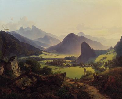
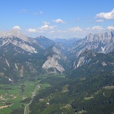
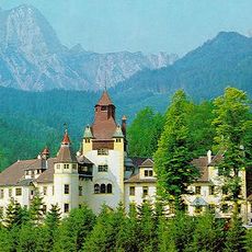
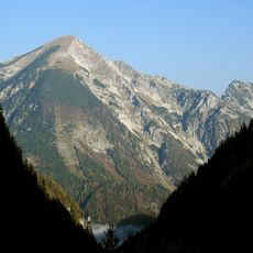
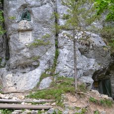
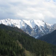
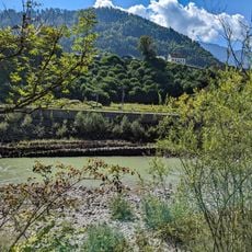
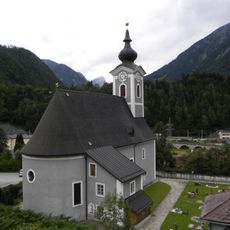
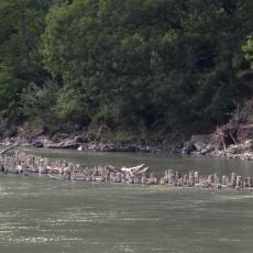
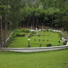
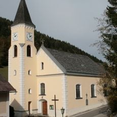
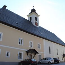
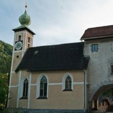
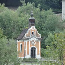
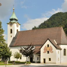
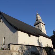
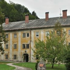
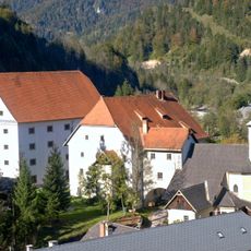
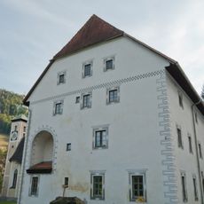
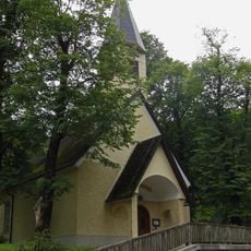
Landl, municipality in Liezen District, Styria, Austria
Location: Liezen District
Elevation above the sea: 520 m
Shares border with: Altenmarkt bei Sankt Gallen, Hollenstein an der Ybbs, Göstling an der Ybbs, Wildalpen, Eisenerz, Radmer, Admont, Sankt Gallen
Email: gde@landl.gv.at
Website: https://landl.at
GPS coordinates: 47.65083,14.73694
Latest update: March 3, 2025 21:36
Gesäuse National Park
22.2 km
Hochkar
14 km
Hochtor
12.6 km
Schloss Leopoldstein
12.4 km
Schloss Kassegg
5.4 km
Wassermannsloch
10.2 km
Wasserlochklamm, Palfau
12.2 km
Hochkarschacht
15.2 km
Tamischbachturm
4.9 km
Kraushöhle
5.3 km
Gamsstein
9.3 km
Großreiflinger Rechen
2.4 km
Kath. Pfarrkirche hl. Johannes der Täufer, Hieflau
4.9 km
Hieflauer Rechen
4.7 km
Pfarrkirche und Friedhof Kirchenlandl
663 m
Soldatenfriedhof Wandau
4.2 km
Pfarrkirche Mendling zu Lassing
15.7 km
Pfarrkirche Gams bei Hieflau
4.2 km
Filialkirche hl. Nikolaus Grossreifling
2.5 km
Flößerkapelle, Altenmarkt
10.2 km
Pfarrkirche hl. Nikolaus, Altenmarkt bei Sankt Gallen
10.5 km
Pfarrkirche Palfau
8.3 km
Schüttkasten Weißenbach an der Enns
10.1 km
Österreichisches Forstmuseum Silvanum
2.6 km
Alter Kasten, Großreifling
2.6 km
Kapelle Wandau (Hieflau)
4.1 km
Friedhof und Aufbahrungshalle Hieflau
4.9 km
Franz Kraus-Denkmal
5.4 kmReviews
Visited this place? Tap the stars to rate it and share your experience / photos with the community! Try now! You can cancel it anytime.
Discover hidden gems everywhere you go!
From secret cafés to breathtaking viewpoints, skip the crowded tourist spots and find places that match your style. Our app makes it easy with voice search, smart filtering, route optimization, and insider tips from travelers worldwide. Download now for the complete mobile experience.
A unique approach to discovering new places❞
— Le Figaro
All the places worth exploring❞
— France Info
A tailor-made excursion in just a few clicks❞
— 20 Minutes