Tamischbachturm, Mountain summit in Admont, Austria
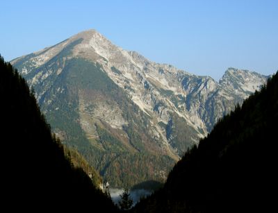
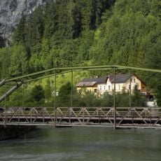
Tamischbachturm is a mountain peak in the Ennstal Alps that rises to 2,035 meters (6,676 feet) and offers multiple hiking routes across alpine meadows and rocky terrain. The main access trail passes through the Tamischbachgraben, a valley passage that connects to established pathways of varying difficulty.
The mountain trails here developed during the 19th century when Alpine Club members mapped out routes for scientific exploration and mountaineering expeditions. These pioneering routes became the foundation for the hiking paths that travelers still use today.
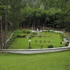
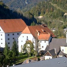
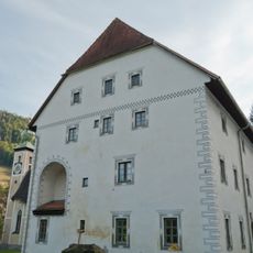
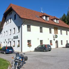
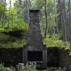
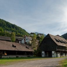
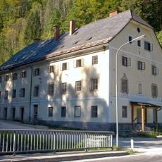
Hikers come to this peak to experience the simple alpine way of life that still defines the region. The mountain huts nearby represent a tradition where travelers find shelter and community in the high mountains.
The main trail departs from Gstatterboden via route 646 and takes roughly 3 hours to reach the summit while traversing the Tamischbachgraben valley. Plan to start early and bring layered clothing since mountain weather can shift rapidly and exposed terrain offers little shelter.
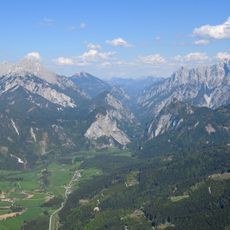
The summit sits at the natural boundary between the Gesäuse National Park and the Eisenwurzen Nature Park, and on clear days both protected areas are visible from the peak. This location gives hikers a unique vantage point to see how the two landscapes differ across the divide.
The community of curious travelers
AroundUs brings together thousands of curated places, local tips, and hidden gems, enriched daily by 60,000 contributors worldwide.