
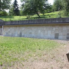
Part of the city wall of Stadtschlaining
Part of the city wall of Stadtschlaining, Denkmalgeschütztes Objekt in Stadtschlaining (30795)
Location: Stadtschlaining
Part of: Stadtschlaining city walls
Address: Stadtschlaining
GPS coordinates: 47.32404,16.27685
Latest update: March 13, 2025 05:23

Alter Jüdischer Friedhof Stadtschlaining
105 m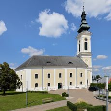
Protestant church in Stadtschlaining
31 m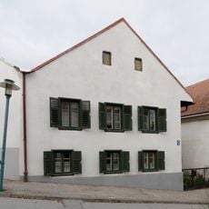
Bürgerhaus
136 m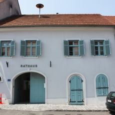
Rathaus Stadtschlaining
144 m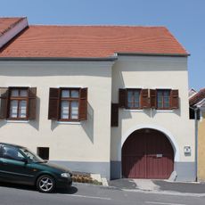
Bürgerhaus
93 m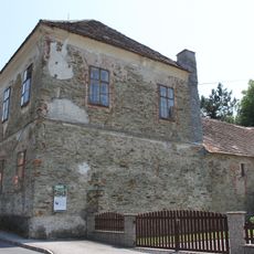
Kath. Volksschule Stadtschlaining
131 m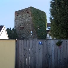
Mauern, Teil d.Stadtmauer
63 m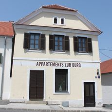
Bürgerhaus
132 m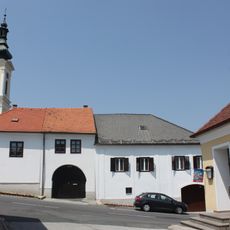
Bürgerhaus
48 m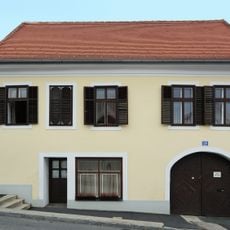
Bürgerhaus
80 m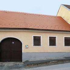
Bürgerhaus
80 m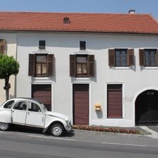
Bürgerhaus
63 m
Bürgerhaus
115 m
Bürgerhaus
70 m
Bürgerhaus
112 m
Bürgerhaus
54 m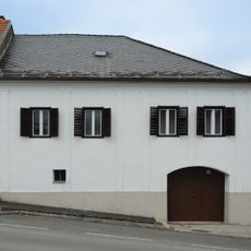
Bürgerhaus
70 m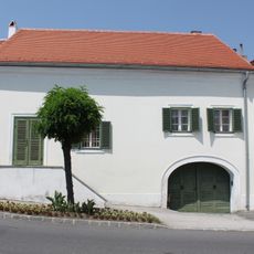
Bürgerhaus
124 m
Bürgerhaus
46 m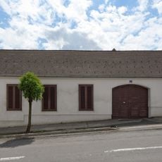
Bürgerhaus
130 m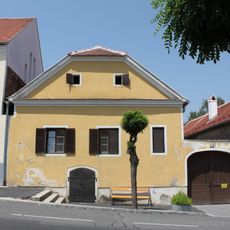
Bürgerhaus
99 m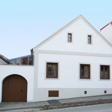
Bürgerhaus
105 m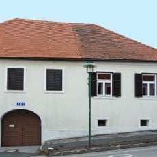
Bürgerhaus
97 m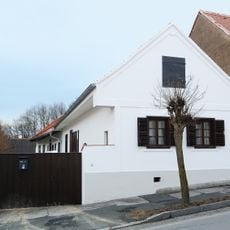
Bürgerhaus
94 m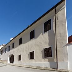
Bürgerhaus
114 m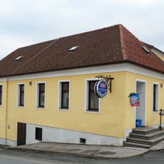
Bürgerhaus
74 m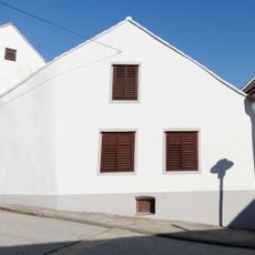
Bürgerhaus
132 m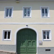
Evang.Pfarramt
41 mReviews
Visited this place? Tap the stars to rate it and share your experience / photos with the community! Try now! You can cancel it anytime.
Discover hidden gems everywhere you go!
From secret cafés to breathtaking viewpoints, skip the crowded tourist spots and find places that match your style. Our app makes it easy with voice search, smart filtering, route optimization, and insider tips from travelers worldwide. Download now for the complete mobile experience.

A unique approach to discovering new places❞
— Le Figaro
All the places worth exploring❞
— France Info
A tailor-made excursion in just a few clicks❞
— 20 Minutes