
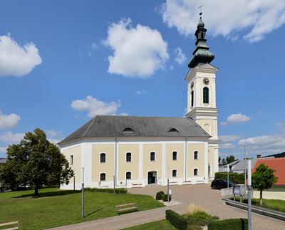
Protestant church in Stadtschlaining, church building in Stadtschlaining, Austria
Location: Stadtschlaining
Address: Lange Gasse 54
GPS coordinates: 47.32391,16.27650
Latest update: March 6, 2025 21:04
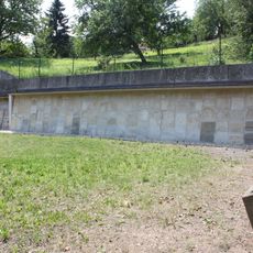
Alter Jüdischer Friedhof Stadtschlaining
131 m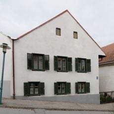
Bürgerhaus
149 m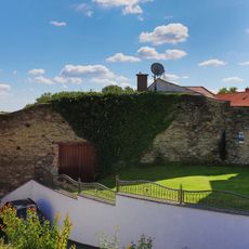
Part of the city wall of Stadtschlaining
31 m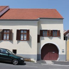
Bürgerhaus
119 m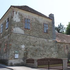
Kath. Volksschule Stadtschlaining
154 m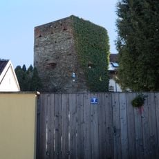
Mauern, Teil d.Stadtmauer
93 m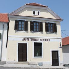
Bürgerhaus
159 m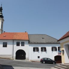
Bürgerhaus
58 m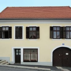
Bürgerhaus
105 m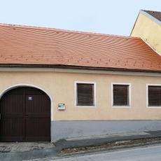
Bürgerhaus
96 m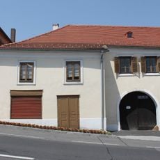
Bürgerhaus
74 m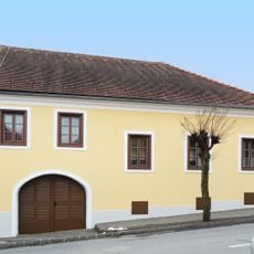
Bürgerhaus
138 m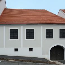
Bürgerhaus
94 m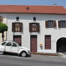
Bürgerhaus
85 m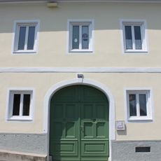
Evang.Pfarramt
35 m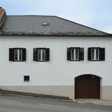
Bürgerhaus
94 m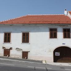
Bürgerhaus
139 m
Bürgerhaus
51 m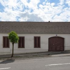
Bürgerhaus
154 m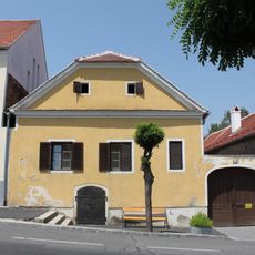
Bürgerhaus
126 m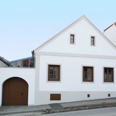
Bürgerhaus
127 m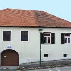
Bürgerhaus
117 m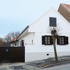
Bürgerhaus
109 m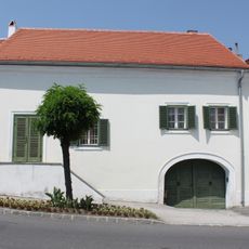
Bürgerhaus
151 m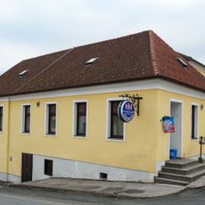
Bürgerhaus
87 m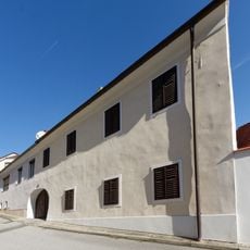
Bürgerhaus
125 m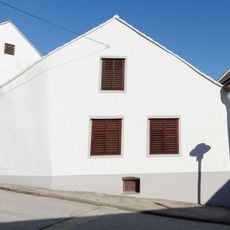
Bürgerhaus
143 m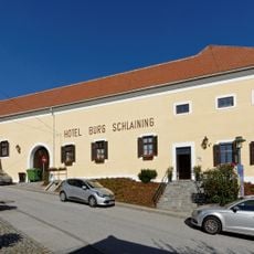
Meierhof, Giczy-Haus
161 mReviews
Visited this place? Tap the stars to rate it and share your experience / photos with the community! Try now! You can cancel it anytime.
Discover hidden gems everywhere you go!
From secret cafés to breathtaking viewpoints, skip the crowded tourist spots and find places that match your style. Our app makes it easy with voice search, smart filtering, route optimization, and insider tips from travelers worldwide. Download now for the complete mobile experience.

A unique approach to discovering new places❞
— Le Figaro
All the places worth exploring❞
— France Info
A tailor-made excursion in just a few clicks❞
— 20 Minutes