
Römerzeitliche Hügelgräber Kogläcker, Denkmalgeschütztes Objekt in Tillmitsch (36663)
Location: Tillmitsch
Address: Kogläcker
GPS coordinates: 46.81787,15.53418
Latest update: March 4, 2025 16:27

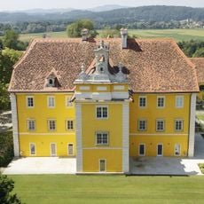
Schloss Eybesfeld
3.1 km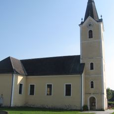
Pfarrkirche Lang
3.2 km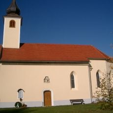
Kath. Filialkirche hl. Maximilian
3.1 km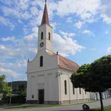
Kath. Filialkirche
1.6 km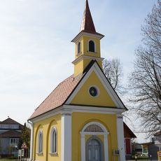
Kath. Filialkirche
1.6 km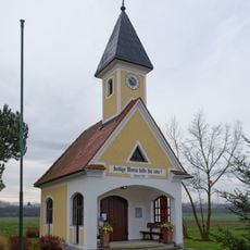
Ortskapelle
2.6 km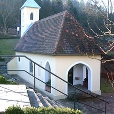
Wallfahrtskirche Annabrunn
2.7 km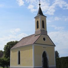
Ortskapelle
1.5 km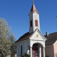
Ortskapelle
2.3 km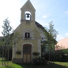
Flur-/Wegkapelle
3.5 km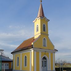
Ortskapelle
3.7 km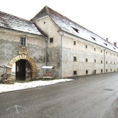
Grottenhof, Schloss Seggau
2.6 km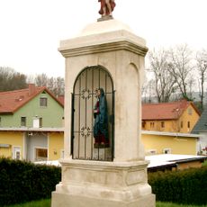
Bildstock
2.9 km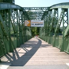
Ehem. Eisenbahnbrücke
2.9 km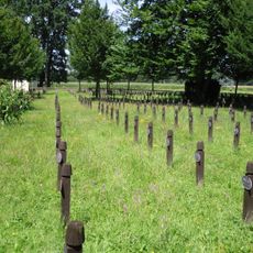
Soldatenfriedhof Lang
2.5 km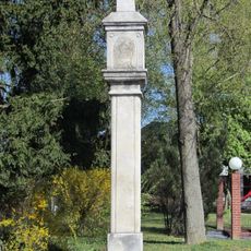
Bildstock Pestkreuz
2.8 km
Ehem. Eisenbahnbrücke
2.9 km
Reitstall Bergmühle, Grottenhofen
3.7 km
Bildstock Pestkreuz
2.2 km
Figurenbildstock Maria Immaculata
2.7 km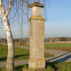
Bildstock Pestkreuz
2.7 km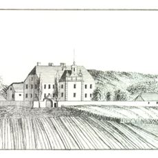
Nebengebäude von Schloss Eybesfeld
3.2 km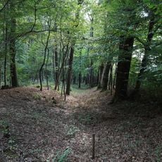
Mittelalterliche Wehranlage, Teufelsgraben
1.9 km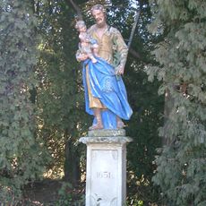
Figurenbildstock, sog. Blauer Josef
2.7 km
Pfarrhof
3.2 km
Verwalterhaus
3 km
Wohnhaus, Kavaliershaus
3.1 km
Turm
3.1 kmReviews
Visited this place? Tap the stars to rate it and share your experience / photos with the community! Try now! You can cancel it anytime.
Discover hidden gems everywhere you go!
From secret cafés to breathtaking viewpoints, skip the crowded tourist spots and find places that match your style. Our app makes it easy with voice search, smart filtering, route optimization, and insider tips from travelers worldwide. Download now for the complete mobile experience.

A unique approach to discovering new places❞
— Le Figaro
All the places worth exploring❞
— France Info
A tailor-made excursion in just a few clicks❞
— 20 Minutes