
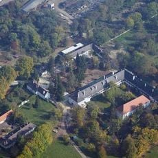
Ehemalige Volksschule, Ritzing, building in Ritzing, Austria
Location: Ritzing
Address: Hauptstraße 4
GPS coordinates: 47.60768,16.49695
Latest update: March 10, 2025 22:31

Lackenbach Castle
3.2 km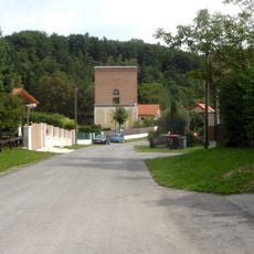
Helenenschacht
417 m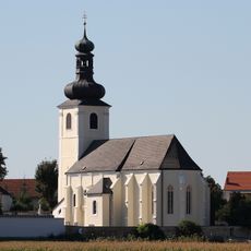
Mariä-Himmelfahrt-Kirche (Unterfrauenhaid)
3.7 km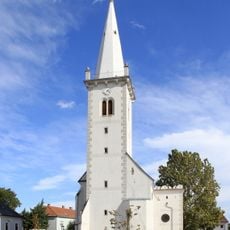
Pfarrkirche hl. Geist, Neckenmarkt
4 km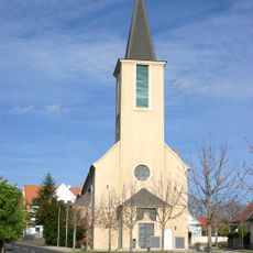
Pfarrkirche Lackenbach
2.9 km
Goldbach
2.7 km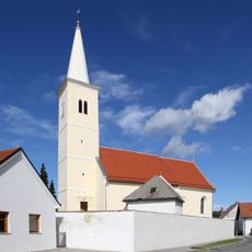
Pfarrkirche hl. Jakobus, Ritzing
260 m
Rosalienkapelle, Ritzing
650 m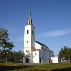
Kath. Filialkirche hl. Rochus
2.1 km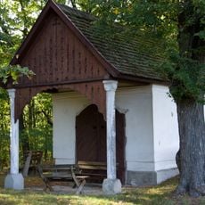
Oswaldikapelle, Neckenmarkt
3.9 km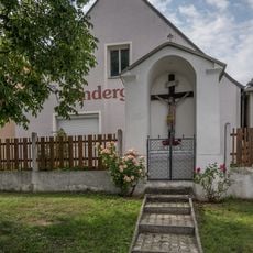
Kreuzkapelle Unterfrauenhaid
3.8 km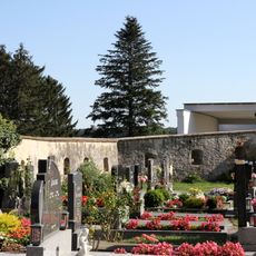
Friedhofsmauer
3.7 km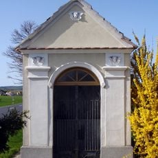
Nikloskapelle, Lackendorf
2.9 km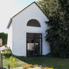
Friedhof Unterfrauenhaid
3.7 km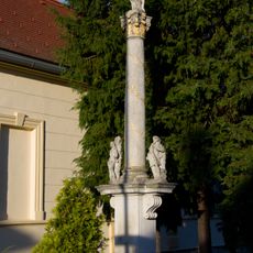
Mariensäule in Ritzing
30 m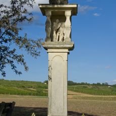
Bildstock Kohlgrund
3.8 km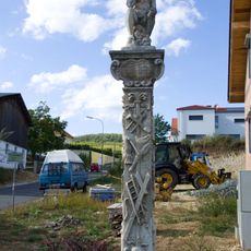
Ecce Homo, Neckenmarkt
3.8 km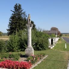
Figurenbildstock Ecce Homo
3.8 km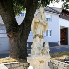
Statue of John of Nepomuk, Lange Zeile, Neckenmarkt
3.9 km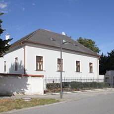
Pfarrhof Neckenmarkt
4 km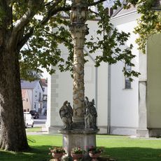
Gnadenstuhl Neckenmarkt
4 km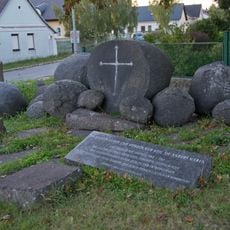
Zigeunermahnmal, Lackenbach
2.8 km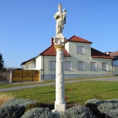
Mariensäule
3 km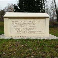
Kenotaph für Matthias Tarrody
3.1 km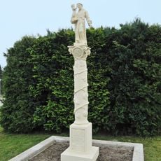
Figurenbildstock, Antoniussäule
3.6 km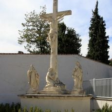
Kalvarienbergkreuz
233 m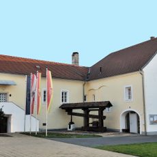
Fahnenschwinger Weinbaumuseum
4 km
Ehem. Goldbachmühle mit Wohn- und Wirtschaftsgebäuden
3.9 kmVisited this place? Tap the stars to rate it and share your experience / photos with the community! Try now! You can cancel it anytime.
Discover hidden gems everywhere you go!
From secret cafés to breathtaking viewpoints, skip the crowded tourist spots and find places that match your style. Our app makes it easy with voice search, smart filtering, route optimization, and insider tips from travelers worldwide. Download now for the complete mobile experience.

A unique approach to discovering new places❞
— Le Figaro
All the places worth exploring❞
— France Info
A tailor-made excursion in just a few clicks❞
— 20 Minutes