
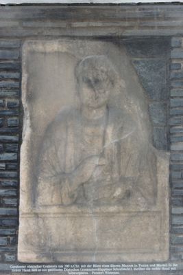
Römischer Grabstein, Denkmalgeschütztes Objekt in Bad St. Leonhard im Lavanttal (77301)
Location: Bad St. Leonhard im Lavanttal
Address: Hauptplatz
GPS coordinates: 46.96357,14.79098
Latest update: April 25, 2025 19:48
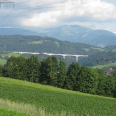
Lavant viaduct
6 km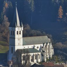
Pfarrkirche St. Leonhard im Lavanttal
737 m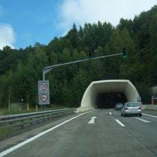
Gräberntunnel
6.5 km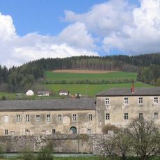
Schloss Ehrenfels
188 m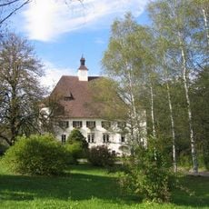
Schloss Wiesenau
2.6 km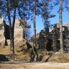
Burgruine Gomarn
241 m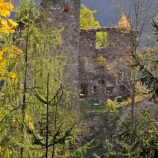
Burgruine Twimberg
6.7 km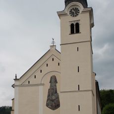
Kunigundekirche in St. Leonhard im Lavanttal
163 m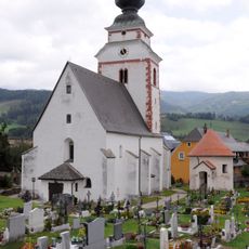
Pfarrkirche hl. Jakobus, Reichenfels
6.2 km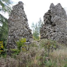
Burgruine Reichenfels
6.4 km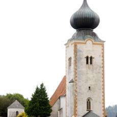
Pfarrkirche St. Peter im Lavanttal
6.5 km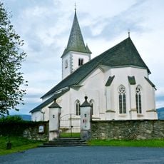
Filialkirche hll. Philippus und Jakobus, Gräbern
6.7 km
Burgruine Lichtengraben/Painburg
2.5 km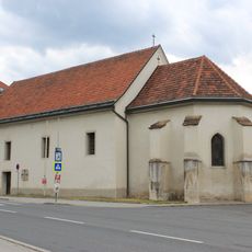
Ehem. Spitalskirche/Zur lieben Frau Maria
327 m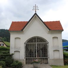
Kreuzwegkapelle, Ölbergkapelle
354 m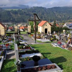
Friedhof Bad Sankt Leonhard
572 m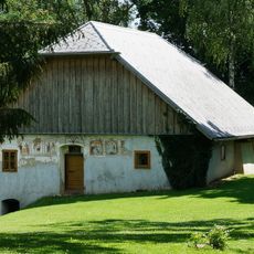
Bauernhaus Schaller
4.4 km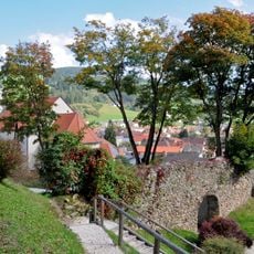
Stadtbefestigung Bad Sankt Leonhard
242 m
Ruine Painburg
2.6 km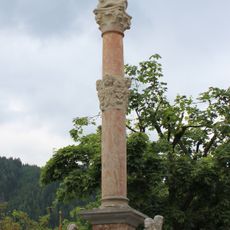
Bad Sankt Leonhard - Mariensäule
11 m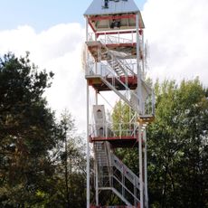
Aussichtswarte Kaerntner Sonnenturm, Schönberg
5.5 km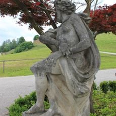
Bad Sankt Leonhard - Christus im Leid
713 m
Pestkreuz
6 km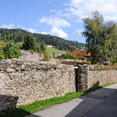
Stadtanlage/Stadtmauer und Turmbau
151 m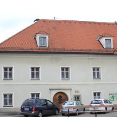
Pfarrhof
75 m
Bischofeck
5.4 km
Pfarrhof
4.6 km
Mariensäule
6.1 kmReviews
Visited this place? Tap the stars to rate it and share your experience / photos with the community! Try now! You can cancel it anytime.
Discover hidden gems everywhere you go!
From secret cafés to breathtaking viewpoints, skip the crowded tourist spots and find places that match your style. Our app makes it easy with voice search, smart filtering, route optimization, and insider tips from travelers worldwide. Download now for the complete mobile experience.

A unique approach to discovering new places❞
— Le Figaro
All the places worth exploring❞
— France Info
A tailor-made excursion in just a few clicks❞
— 20 Minutes