
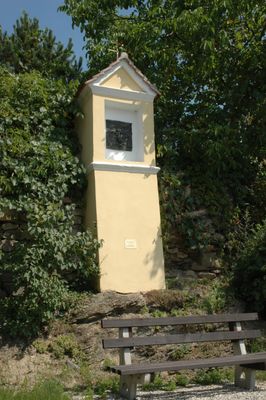
Wayside shrine in the Danube, Bildstock in Krems an der Donau (77403)
Location: Krems
Address: bei Rehberger Hauptstraße 56
GPS coordinates: 48.43534,15.58646
Latest update: October 17, 2025 10:40

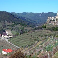
Burgruine Senftenberg
2.1 km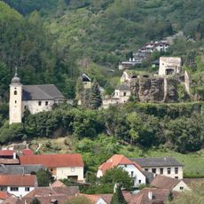
Burgruine Rehberg
424 m
Pfarrkirche Imbach
861 m
Burgruine Imbach
836 m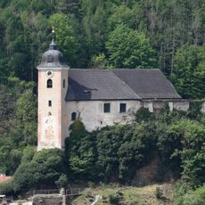
Pfarrkirche hl. Johannes der Täufer, Rehberg
468 m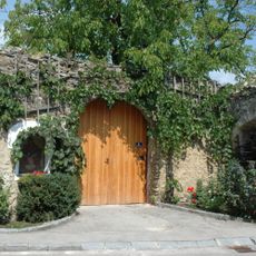
Hauerhaus mit Rauchküche
412 m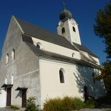
Kath. Pfarrkirche hl. Nikolaus
2 km
Paleolithical station Stratzing/Krems-Rehberg
1.3 km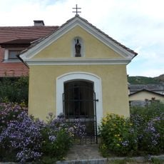
Marienkapelle Imbach
781 m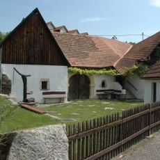
Wohn- und Wirtschaftsgebäude in Krems an der Donau
22 m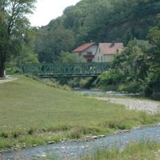
Straßenbrücke, Schmittbrücke
1.7 km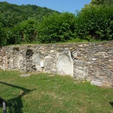
Dominikanerinnenkloster Imbach
812 m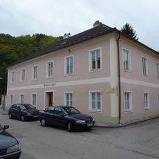
Pfarrhof
922 m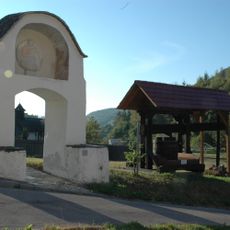
Bildstock, sog. Weingartentor
1.9 km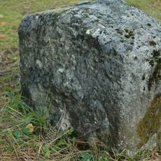
Gedenkstein Kuhberg
1.9 km
Figur hl. Florian
468 m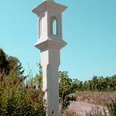
Turnerkreuz
2 km
Figurenbildstock Maria mit Kind
2.1 km
Figur hl. Johannes Nepomuk
438 m
Figur
844 m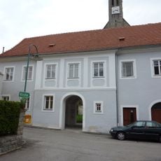
Ehem. Pfarrhof
906 m
Pfarrhof
2 km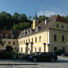
Jesuitenmühle
1.9 km
Bürgerhaus
809 m
Alter Mühlhof
1.2 km
Weinhof Senftenberg
1.9 km
Bürgerhaus
950 mReviews
Visited this place? Tap the stars to rate it and share your experience / photos with the community! Try now! You can cancel it anytime.
Discover hidden gems everywhere you go!
From secret cafés to breathtaking viewpoints, skip the crowded tourist spots and find places that match your style. Our app makes it easy with voice search, smart filtering, route optimization, and insider tips from travelers worldwide. Download now for the complete mobile experience.

A unique approach to discovering new places❞
— Le Figaro
All the places worth exploring❞
— France Info
A tailor-made excursion in just a few clicks❞
— 20 Minutes