
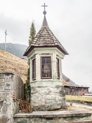
Bildstock, Bildstock in Rauris (76396)
Location: Rauris
Address: bei Rainbergstraße 26
GPS coordinates: 47.22869,12.99983
Latest update: October 17, 2025 10:40

Wallfahrtskapelle Maria Elend
5.7 km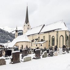
Pfarrkirche hll. Jakob und Martin, Rauris
357 m
Burgruine Taxenbach
7.4 km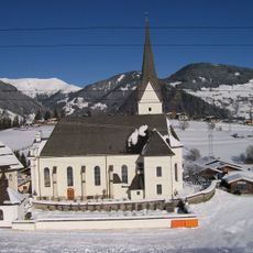
Pfarrkirche Embach
6.8 km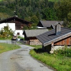
Edtgut, Taxenbach
7.1 km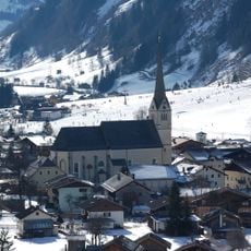
Kath. Pfarrkirche hll. Jakob und Martin
387 m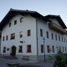
Regional history museum of the Rauris valley
498 m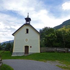
Einödkapelle, Rauris
5.1 km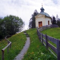
Wallfahrtskapelle Maria Elend
5.7 km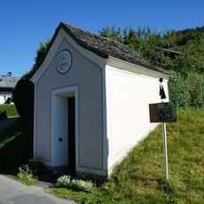
Höfer Kapelle
7.5 km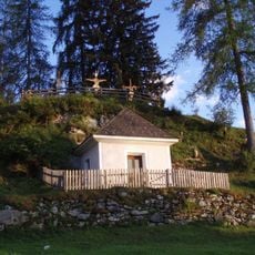
Ölbergkapelle
6.3 km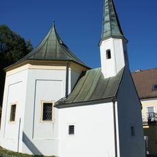
Frauenkapelle
7.6 km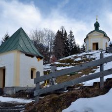
Ursprungskapelle Maria Elend
5.7 km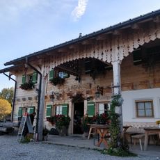
Kögerlalm
7.3 km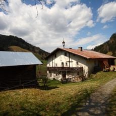
Bauernhof Waldbauer, Unterland
3.7 km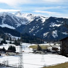
Baukogel
4.3 km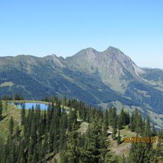
Sladinkopf
3.6 km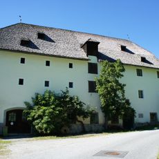
Fürstenmühle
260 m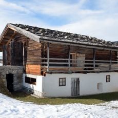
Geistliches Zentrum Embach, Raum der Stille
6.7 km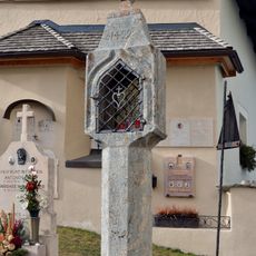
Bildstock
380 m
Voglmairhaus
441 m
Bernkogel
4 km
Pfarrhof Embach
6.8 km
Burgruine, Burgstelle der Edtburg
7.1 km
Forsthaus
458 m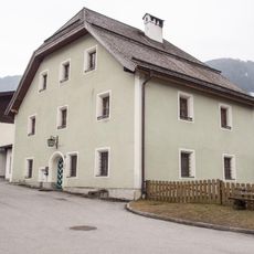
Pfarrhof
327 m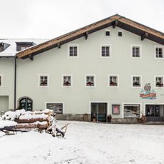
Verweserhaus
404 m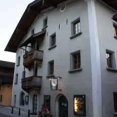
Bürgerhaus, Haniflehen
449 mVisited this place? Tap the stars to rate it and share your experience / photos with the community! Try now! You can cancel it anytime.
Discover hidden gems everywhere you go!
From secret cafés to breathtaking viewpoints, skip the crowded tourist spots and find places that match your style. Our app makes it easy with voice search, smart filtering, route optimization, and insider tips from travelers worldwide. Download now for the complete mobile experience.

A unique approach to discovering new places❞
— Le Figaro
All the places worth exploring❞
— France Info
A tailor-made excursion in just a few clicks❞
— 20 Minutes