·

Enable Location

We need your location to show you interesting places around you

Discover nearby places

Find interesting locations and hidden gems around you

Precise directions

Get accurate directions and distances to places

Your location is never shared with other users. It's only used when you tap the location button.

Rauris

Log in to your account

Start exploring — it's free

Trusted by 62,659 travelers worldwide

Continue with Google
Continue with Apple
or

We will send you a code to connect

By continuing, you accept our Terms and Conditions and our Privacy Policy

Check your inbox

We've sent a pincode in your inbox. Please enter the code below.

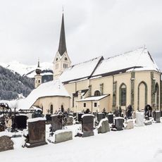
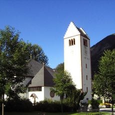
Rauris, Alpine municipality in Pinzgau, Austria

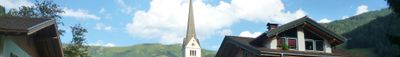
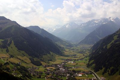
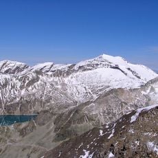
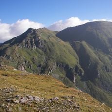
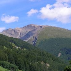
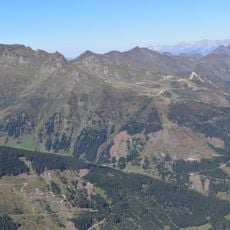
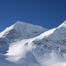
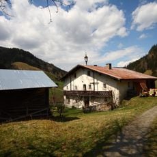
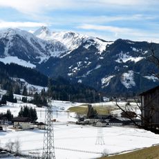
Rauris is a municipality in Pinzgau that stretches through the Raurisertal valley surrounded by the peaks of Hohe Tauern National Park. The terrain rises to approximately 1000 meters and features typical alpine landscape with meadows, forests, and snow-capped mountains.

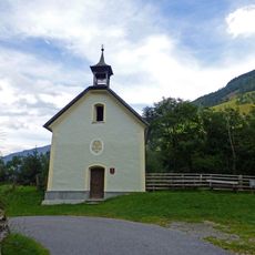
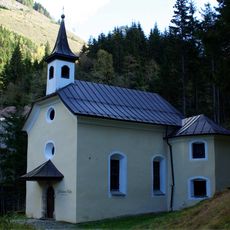
The region served as a crucial passage in ancient times, as evidenced by archaeological discoveries of coins and bronze implements. Later, it became an important trade route and pilgrimage path connecting different regions across the mountains.

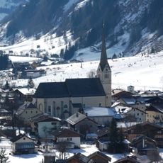
The valley has long been a crossing point where travelers and locals have shaped its character over generations. Today, visitors can observe how mountain traditions and the rhythm of seasonal life still influence daily routines in the community.

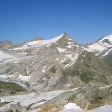
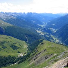
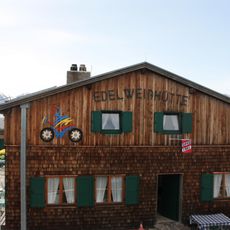
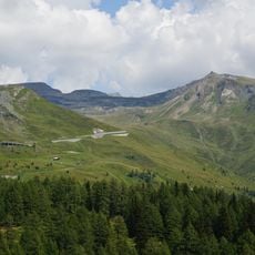
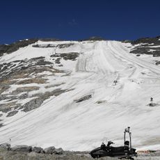
In winter, skiers use 32 kilometers of slopes and ten lifts to descend the mountainsides. Summer visitors access a network of hiking trails throughout the national park that lead to meadows and mountain passes.

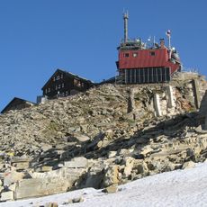
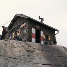
The Sonnblick weather station was built in 1886 on a mountaintop and became Europe's first high-altitude meteorological observatory. Since 1954, visitors can reach it by cable car to view the station and the panorama of surrounding peaks.

The community of curious travelers

AroundUs brings together thousands of curated places, local tips, and hidden gems, enriched daily by 60,000 contributors worldwide.

Start exploring
Elevation above the sea
944 m
Phone
GPS coordinates
47.22917,12.99444
Latest update
December 20, 2025 14:26
« Rauris - Alpine municipality in Pinzgau, Austria » is provided by Around Us (aroundus.com). Images and texts are derived from Wikimedia project under a Creative Commons license. You are allowed to copy, distribute, and modify copies of this page, under the conditions set by the license, as long as this note is clearly visible.

Discover hidden gems everywhere you go!

From secret cafés to breathtaking viewpoints, skip the crowded tourist spots and find places that match your style. Our app makes it easy with voice search, smart filtering, route optimization, and insider tips from travelers worldwide. Download now for the complete mobile experience.

Around Us App Screenshot

A unique approach to discovering new places

Le Figaro

All the places worth exploring

France Info

A tailor-made excursion in just a few clicks

20 Minutes

Around Us
Travel Guide & Maps
Download

Send to your phone

QR Code
1

Open the camera app on your mobile.

2

Point at the QR code with your camera. A notification will appear.

3

Tap the notification to open the link.