Zell am See District
Zell am See District, Administrative district in Salzburg, Austria
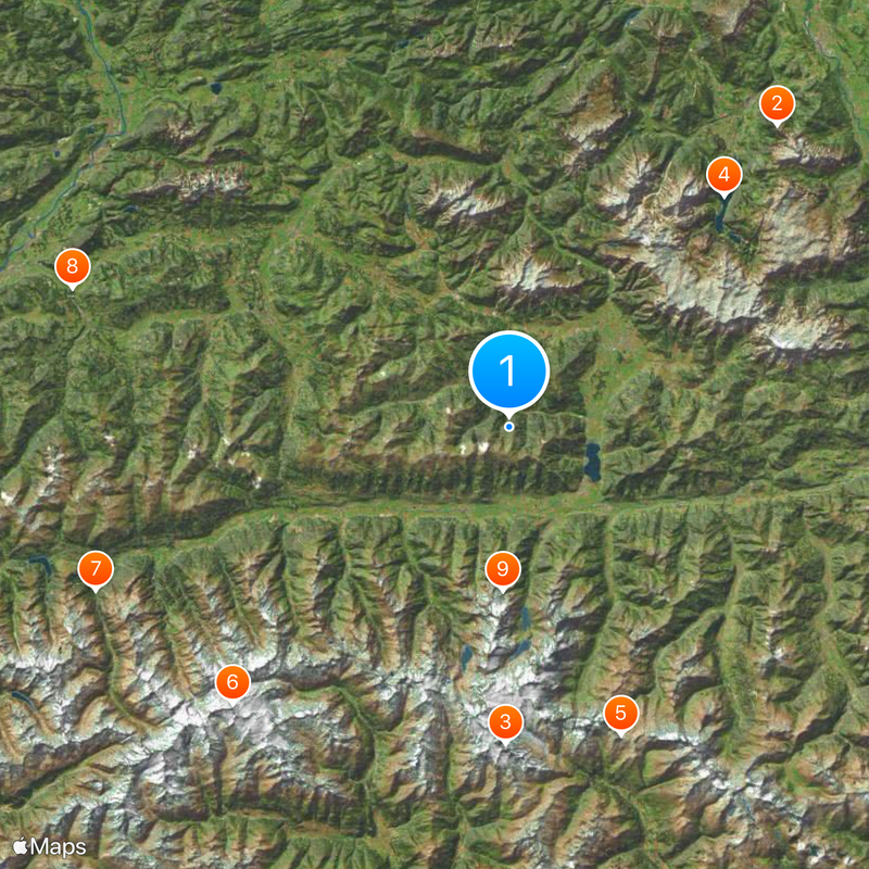
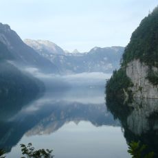
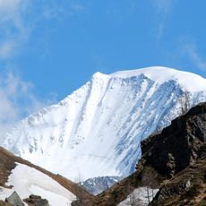
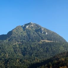
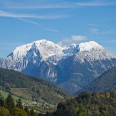
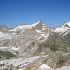
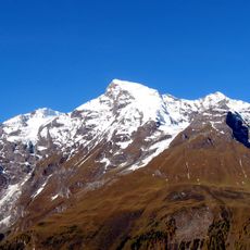
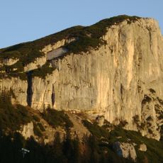
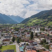
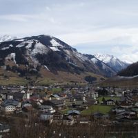
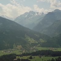
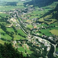
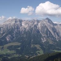
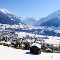
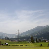
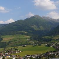
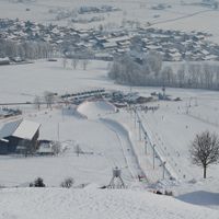
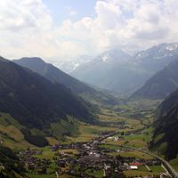
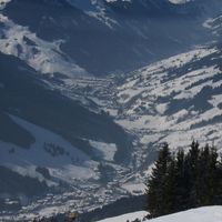
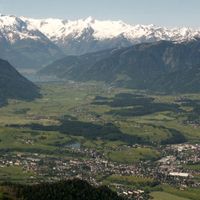
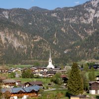
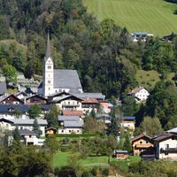
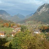
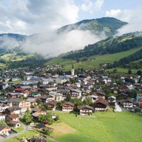
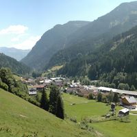
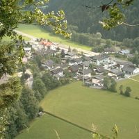
The Zell am See District is an administrative area in Salzburg that covers the Pinzgau region and brings together multiple towns and villages. The landscape is shaped by valleys, mountains, and forests that define the character of this territory.
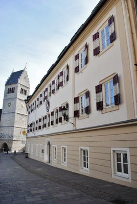
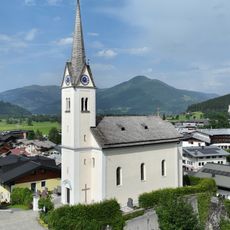
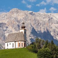
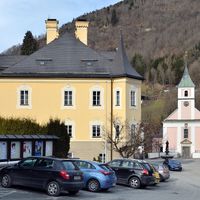
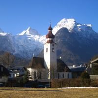
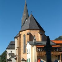
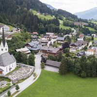
The territory shows traces of settlements from Roman times, with monks establishing monasteries around 740 that sparked major development. These religious centers shaped how the region was settled and grew for centuries afterward.
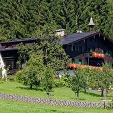
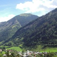
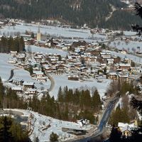
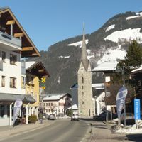
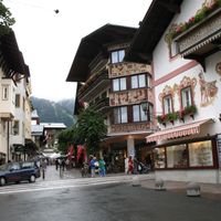
The region preserves Alpine customs through seasonal celebrations, mountain farming, and regional food specialties handed down through families. These traditions shape how people live and work in the villages today.
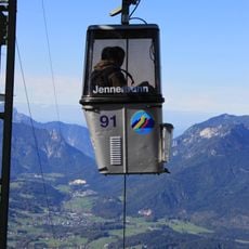
The region is well connected by regular trains serving the main towns and buses linking smaller villages. Visitors should know that mountain roads can have varying conditions depending on the season.
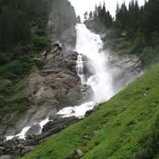
The territory contains Krimmler Falls, one of Europe's tallest natural waterfalls, which tumbles down steep rock faces in multiple cascades. This striking sight draws many hikers who walk up along the stream toward the source.
Location: Salzburg
Capital city: Zell am See
Elevation above the sea: 761 m
Reference: ZE
Shares border with: Berchtesgadener Land, Spittal an der Drau District, Kitzbühel District, St. Johann im Pongau District, South Tyrol, Lienz District, Schwaz District, Traunstein
Website: https://salzburg.gv.at/dienststellen/bezirke/bh-zellamsee
GPS coordinates: 47.35000,12.70000
Latest update: December 18, 2025 20:12
Kehlsteinhaus
38.8 km
Grossglockner
30.7 km
Königssee
30.4 km
Grossglockner High Alpine Road
31.7 km
Großvenediger
37.9 km
Krimml Waterfalls
43 km
Itter Castle
44.3 km
Glacial Aerial Tramway Kaprun III
15.8 km
St. Bartholomew's Church, Berchtesgaden
29.8 km
Pasterze Glacier
29.5 km
Kitzsteinhorn
18.1 km
Dokumentationszentrum Obersalzberg
40.5 km
Röthbach Waterfall
29 km
Berchtesgaden Chancellery Branch office
37.5 km
Kufstein Fortress
47.5 km
Teahouse on Mooslahnerkopf Hill
41 km
Glockenkarkopf
48.7 km
Stausee Mooserboden
20.9 km
Jenner
34.8 km
Kempinski Hotel Berchtesgaden
41 km
Schüttgut
8.5 km
Hoher Göll
38.7 km
Jennerbahn
34.8 km
Parish church St. Margaret
9.7 km
Hoher Sonnblick
38.3 kmBerchtesgaden Provostry
38.9 km
Großes Wiesbachhorn
21.9 km
Steinplatte
29.7 kmVisited this place? Tap the stars to rate it and share your experience / photos with the community! Try now! You can cancel it anytime.
Bramberg am Wildkogel
Bruck an der Großglocknerstraße
Dienten am Hochkönig
Fusch an der Großglocknerstraße
Hollersbach im Pinzgau
Kaprun
Krimml
Lend
Leogang
Lofer
Maishofen
Maria Alm
Mittersill
Neukirchen am Großvenediger
Niedernsill
Piesendorf
Rauris
Saalbach-Hinterglemm
Saalfelden am Steinernen Meer
Sankt Martin bei Lofer
Stuhlfelden
Taxenbach
Unken
Uttendorf
Viehhofen
Wald im Pinzgau
Weißbach bei Lofer
Zell am See
Discover hidden gems everywhere you go!
From secret cafés to breathtaking viewpoints, skip the crowded tourist spots and find places that match your style. Our app makes it easy with voice search, smart filtering, route optimization, and insider tips from travelers worldwide. Download now for the complete mobile experience.
A unique approach to discovering new places❞
— Le Figaro
All the places worth exploring❞
— France Info
A tailor-made excursion in just a few clicks❞
— 20 Minutes