Glockenkarkopf, Mountain summit at the Austrian-Italian border in the Zillertal Alps
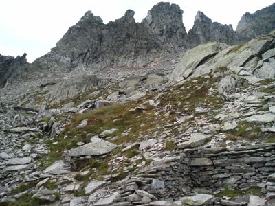
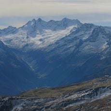
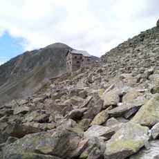
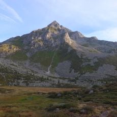
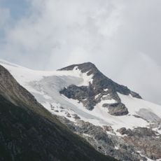
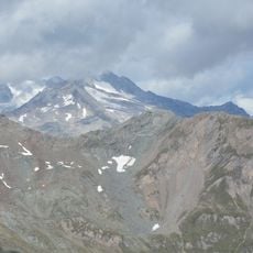
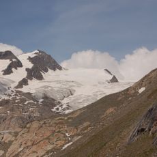
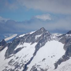
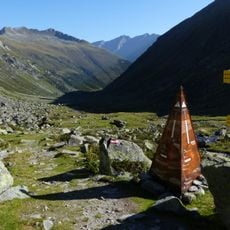
Glockenkarkopf is a mountain summit at the Austrian-Italian border in the Zillertal Alps, rising to 2,911 meters above sea level. The peak marks a major water divide between the drainage basins flowing toward the Adriatic and Black Seas, and hikers can reach it via established trails from both countries.
Mountain guides Franz Hofer and Fritz Koegel made the first documented ascent on July 10, 1895, during the Austro-Hungarian period. The summit served as an important landmark for defining territorial boundaries and trade routes between the Austrian and Italian regions.
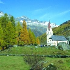
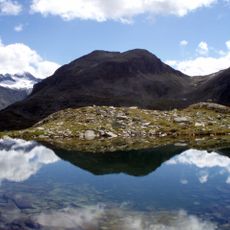
The region reflects a bilingual character, with Italian-speaking communities in the lower valley and German speakers in the upper areas. This border location shapes how people from both sides interact and share mountain traditions.
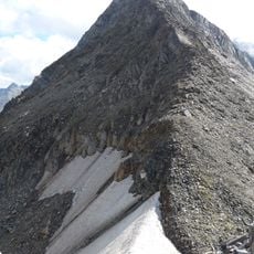
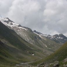
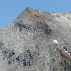
The climb is demanding and requires experience with alpine routes and proper gear for mountain conditions. Start early in the day and be prepared for rapid weather changes, as conditions can shift quickly at high altitude.
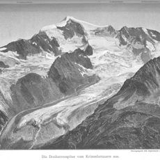
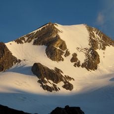
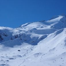
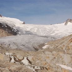
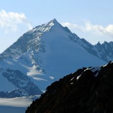
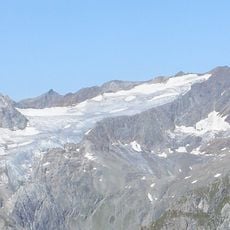
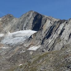
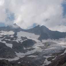
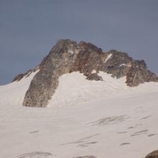
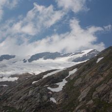
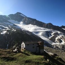
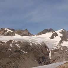
Two separate glaciers occupy the slopes—Schattseidkees to the northwest and another glacier to the northeast—both bearing visible signs of climate change. Visitors can see how these ice masses have retreated significantly over recent decades, making them living evidence of shifts in alpine conditions.
The community of curious travelers
AroundUs brings together thousands of curated places, local tips, and hidden gems, enriched daily by 60,000 contributors worldwide.