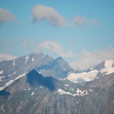
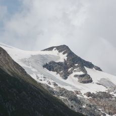
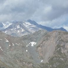
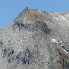
Rosshuf, Mountain peak in Venediger Group, Austria and Italy
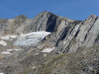
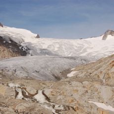
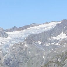
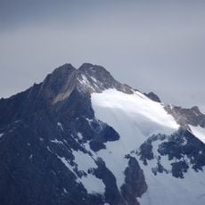
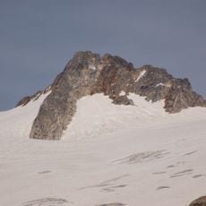
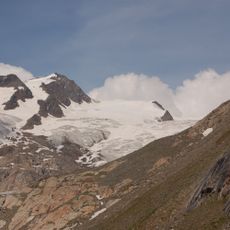
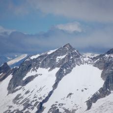
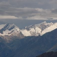
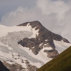
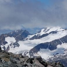
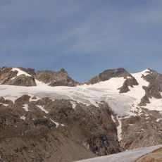
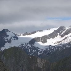
Rosshuf is a 3,199 meter (10,495 foot) peak in the Venediger Group that marks the border between East Tyrol in Austria and South Tyrol in Italy. The summit sits within a cluster of nearby peaks that share similar elevation and terrain characteristics.
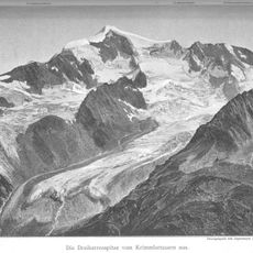
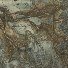
The first recorded ascent occurred in 1854 when A. Berger and surveyors from Virgental reached the summit during a mapping expedition. This exploration was part of the broader surveying work being conducted across the Alps during that period.
The name Rosshuf comes from Alpine tradition, where peaks receive names based on their appearance, showing how local mountain communities understood their landscape. Residents of the border valleys used such names to navigate and share knowledge about the high peaks surrounding them.
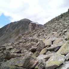
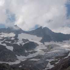
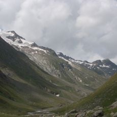
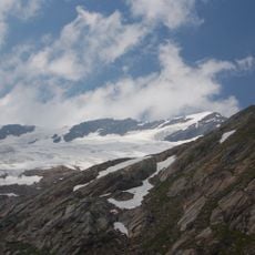
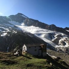
Ascent is possible from the Italian side via Lenkjöchlhütte refuge or from the Austrian side via Clarahütte shelter, with both routes requiring ice climbing skills and specialized gear. Access depends on weather conditions and the climber's alpine experience.
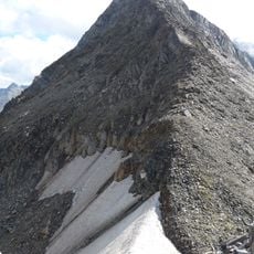
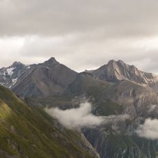
The summit is part of a massif with several adjacent peaks, including Western Rosshuf at 3,144 meters (10,315 feet) and Middle Rosshuf at 3,180 meters (10,433 feet). This arrangement creates a complex ridge system that often confuses hikers navigating the area.
The community of curious travelers
AroundUs brings together thousands of curated places, local tips, and hidden gems, enriched daily by 60,000 contributors worldwide.