Grossglockner, Mountain peak in Hohe Tauern range, Austria
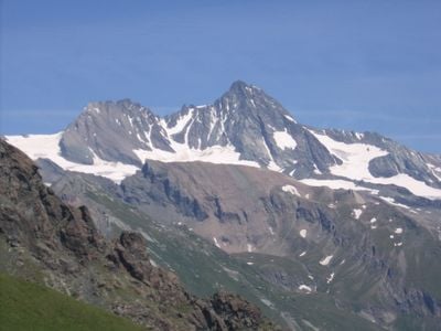
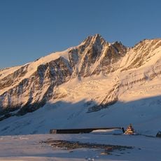
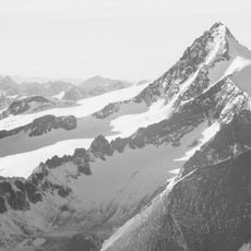
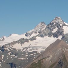
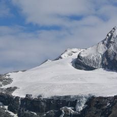
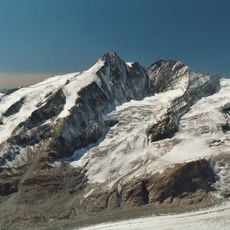
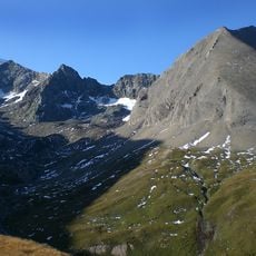
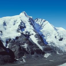
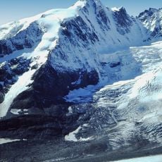
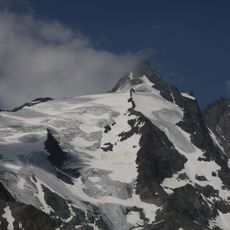
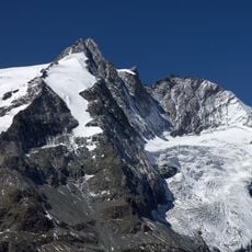
Grossglockner is a mountain in the Hohe Tauern range between Carinthia and Tyrol, rising to 3,798 meters (12,460 feet) and reaching the highest point in Austria and the Alps east of the Brenner Pass. The peak shows two distinct humps, with the lower one known as Kleiner Glockner.
On 28 July 1800, a group of four climbers from the surrounding valleys reached the summit, guided by Count Franz Xaver of Salm. This ascent opened the way for many more attempts, with most subsequently approaching from the western side.
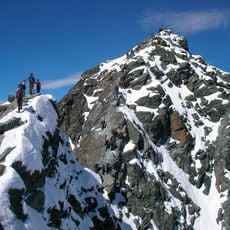
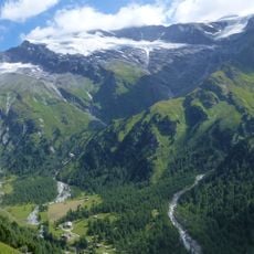
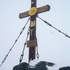
The name refers to a small bell that climbers once rang during bad weather to signal their position. Local mountaineers from surrounding villages have shaped this mountain over generations and still use traditional routes across ridges and glacier edges.
The routes to the summit are long and require technical climbing skills, so only experienced mountaineers with proper equipment should attempt the ascent. An early start helps avoid afternoon storms that frequently develop at high elevations.
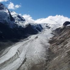
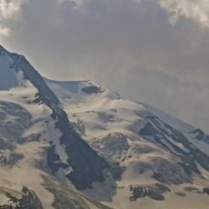
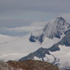
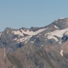
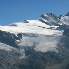
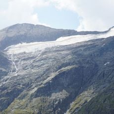
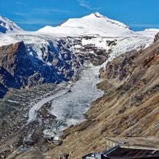
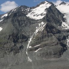
The Pasterze glacier lies on the eastern slope and extends for about 8 kilometers in length, with sections reaching nearly 5 kilometers in width. This ice field can be seen from several viewpoints without needing to climb the mountain itself.
The community of curious travelers
AroundUs brings together thousands of curated places, local tips, and hidden gems, enriched daily by 60,000 contributors worldwide.