Kals am Großglockner, municipality in Lienz District, Tyrol, Austria
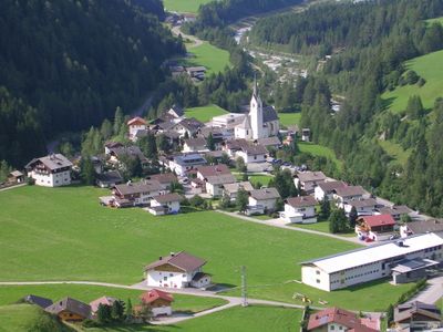
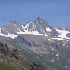
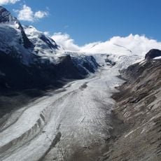
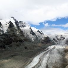
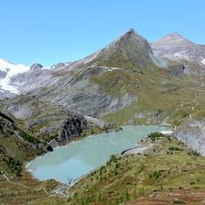
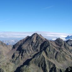
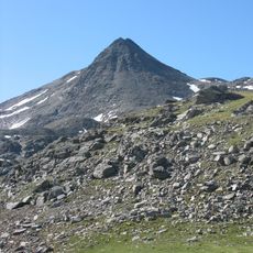
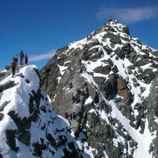
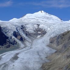
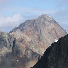
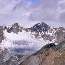
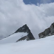
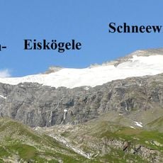
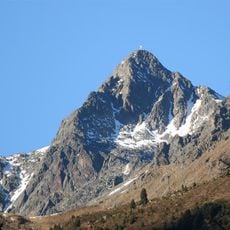
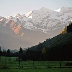
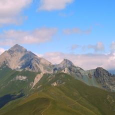
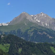
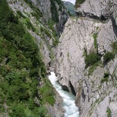
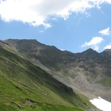
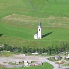
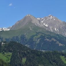
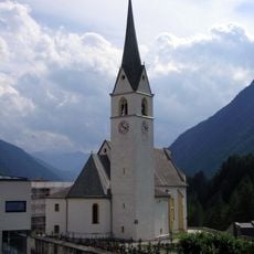
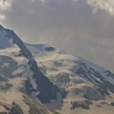
Kals am Großglockner is a small mountain village in Tirol that sits at the foot of Austria's tallest peak and lies above 1,300 meters in elevation. The village is ringed by steep, snow-capped ridges that offer views of glaciers and harsh alpine terrain from many vantage points.
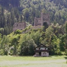
The village first appears in written records in the late 12th century and grew through mining and farming activities. In the 1500s, a copper mine opened and brought economic growth that helped establish the settlement.
The community here keeps traditional ways of life alive and celebrates local customs that have been passed down through generations. You notice farmers working the land and see old traditions practiced during village festivals and gatherings.
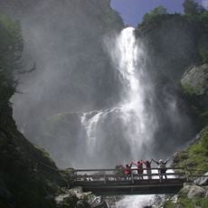
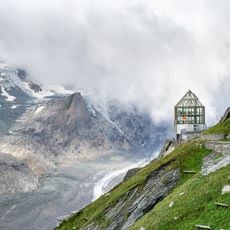
The village is reached by a winding mountain road, with the Felbertauerntunnel being a notable feature of the drive. Summer offers hiking and biking on mountain trails, while winter brings skiing and snowshoe walking.
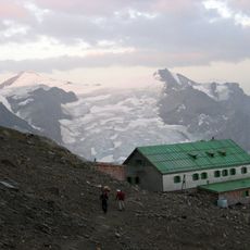
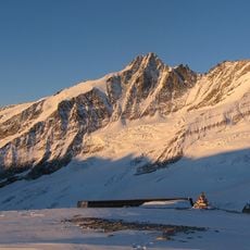
Austria's tallest mountain was first summited in 1853 and this landmark event made Kals a gateway for climbers and explorers. The village has remained a starting point for mountain adventures ever since, drawing those who seek to tackle the peak.
The community of curious travelers
AroundUs brings together thousands of curated places, local tips, and hidden gems, enriched daily by 60,000 contributors worldwide.