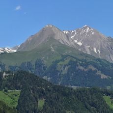
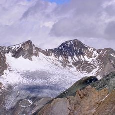
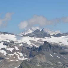
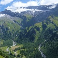
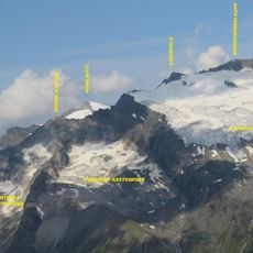
Großer Muntanitz, Mountain summit in Kals am Großglockner, Austria
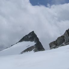
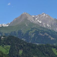
Großer Muntanitz is a mountain summit in the Granatspitz Group and stands as the highest peak of this mountain range. The terrain features steep rocky faces and exposed ridges typical of high-altitude alpine geography.
The marked normal route to the summit, the Karl-Schöttner-Weg, starts at the Sudetendeutsche Hütte at 2656 m and takes about 2.5 hours. It leads over grassy slopes and a sandy cirque to the Wellachköpfe, then across the Bachtrögerkees and a blocky, somewhat exposed passage below the Kleiner Muntanitz (3192 m). A rope-secured gully (grade I+) and a steel-cable traverse lead to the Kampl saddle (3129 m) and on to the summit.
The normal route from the Sudetendeutsche Hütte is the marked Karl-Schöttner-Weg, named after the alpine writer Karl Schöttner. It leads past the Wellachköpfe and over the Kampl saddle, with a rope-secured gully on the Kleine Muntanitz flank. The peak is the highest of the Granatspitz Group, and the summit view reaches the Großglockner to the east and the Venediger Group to the west.
The climb requires alpine experience and stable weather, as several passages are exposed and steep. Warm clothing and sturdy boots are necessary, especially if snowfields remain early in the season.
The normal route, the Karl-Schöttner-Weg, crosses the Kleine Muntanitz (3,192 m) and descends an exposed, cable-protected gully rated UIAA I+ before reaching the Kampl saddle at 3,129 m. The summit stands on the Muntanitzkamm, the ridge forming the border between Kals am Großglockner and Matrei in Osttirol.
The community of curious travelers
AroundUs brings together thousands of curated places, local tips, and hidden gems, enriched daily by 94,070 contributors worldwide.