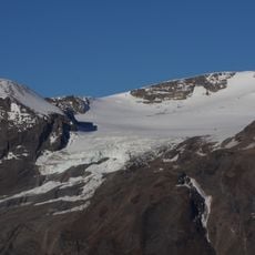
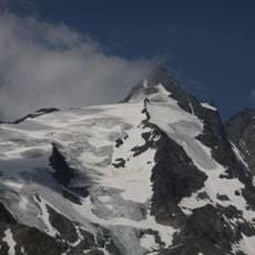
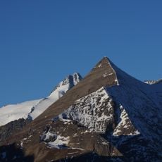
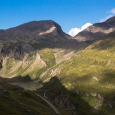
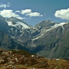
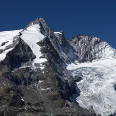
Fuscherkarkopf, Mountain summit in the Glockner Group, High Tauern, Austria
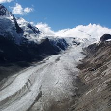
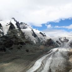
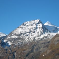
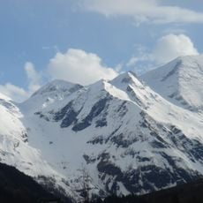
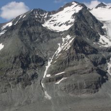
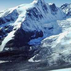
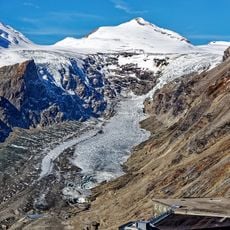
Fuscherkarkopf is a summit in the Glockner Group within the High Tauern range and reaches an elevation of 3,331 meters with a second peak at 3,252 meters. The two peaks are connected by a firn ridge that defines the high mountain terrain.
The mountain received its first documented ascent in the 1840s through Gregor Maier, a local mountaineer from the village of Fusch. These early climbing expeditions marked the beginning of high mountain mountaineering in this region.
The name Fuscherkarkopf comes from the Fuschertal valley that stretches below it, showing the connection between alpine villages and the mountains around them. The local communities have lived alongside these peaks for generations, using the valley and its surroundings as a natural part of their world.
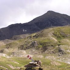
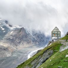
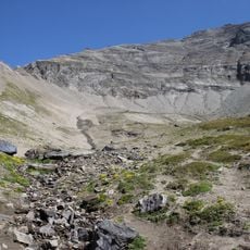
The normal route runs from the site of the Hofmanns Hut, dismantled in 2016, over the southwest ridge (Gamsgrubengrat) to the northwest summit and then along the connecting ridge east to the main peak, graded UIAA I+ with some wire-rope protection. Walking time is about 2½ hours from the hut site, or 3 hours from Kaiser-Franz-Josefs-Höhe via the Gamsgrubenweg. The summit carries a cross.
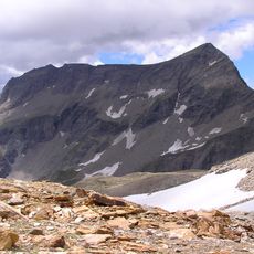
The 650-metre West Face of the 3,252-metre northwest summit was first climbed in 1927 by Hubert Peterka and companions. Since its ice coating melted away through global warming, the route is no longer passable because of severe rockfall danger.
The community of curious travelers
AroundUs brings together thousands of curated places, local tips, and hidden gems, enriched daily by 92,865 contributors worldwide.