Fusch an der Großglocknerstraße
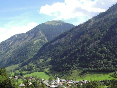
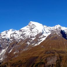
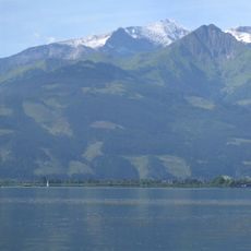
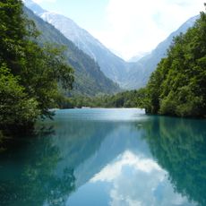
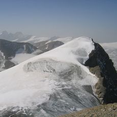
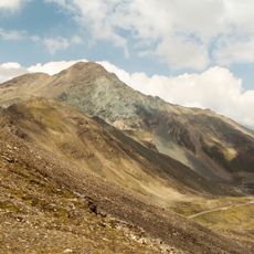
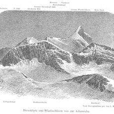
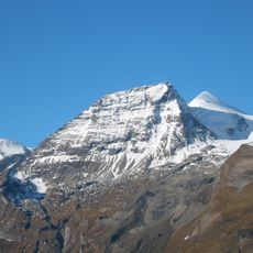
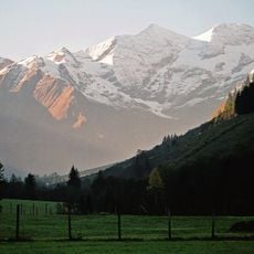
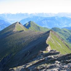
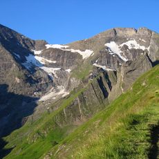
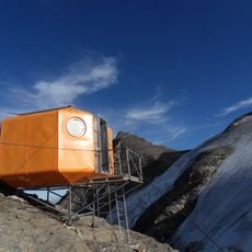
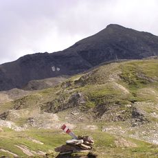
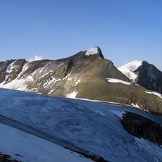
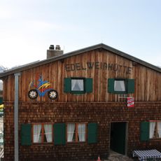
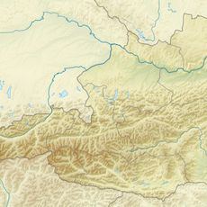
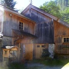
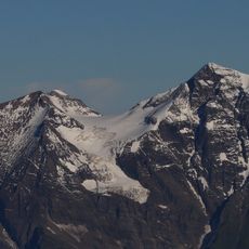
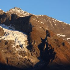
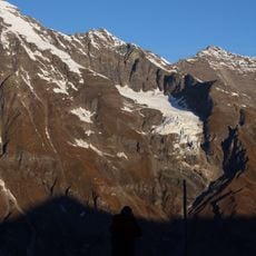
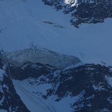
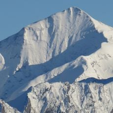
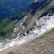
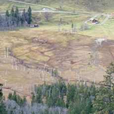
Fusch an der Großglocknerstraße, municipality in Zell am See District, Salzburg, Austria
Location: Zell am See District
Elevation above the sea: 815 m
Shares border with: Rauris, Bruck an der Großglocknerstraße, Kaprun, Heiligenblut
Email: gemeinde@fusch.at
Website: http://fusch.at
GPS coordinates: 47.21667,12.81667
Latest update: March 12, 2025 11:15
Großes Wiesbachhorn
8.1 km
Sigmund-Thun-Klamm
7.6 km
Edelweißspitze
10.4 km
Hoher Tenn
6 km
Klammsee
7.3 km
Klockerin
9.9 km
Brennkogel
13.3 km
Großer Bärenkopf
11.5 km
Hohe Dock
11.1 km
Fuscherkarkopf
14.2 km
Wild- und Erlebnispark Ferleiten
5.3 km
Kempsenkopf
5.8 km
Bauernbrachkopf
5.8 km
Gruberscharten-Biwak
10.8 km
Spielmann
13.8 km
Hinterer Bratschenkopf
9.2 km
Edelweißhütte
10.8 km
Walcherfall
5 km
Mühlauersäge, Fusch an der Glocknerstraße
1.1 km
Vorderer Bratschenkopf
9.2 km
Heidnische Kirche
6.6 km
Sandbodenkees
6.7 km
Der Rinner
13.8 km
Hörndlwand
5.5 km
Teufelsmühlkees
9 km
Kaindlgrat
8.3 km
Walcher Kees
6.1 km
Rotmoos
10 kmVisited this place? Tap the stars to rate it and share your experience / photos with the community! Try now! You can cancel it anytime.
Discover hidden gems everywhere you go!
From secret cafés to breathtaking viewpoints, skip the crowded tourist spots and find places that match your style. Our app makes it easy with voice search, smart filtering, route optimization, and insider tips from travelers worldwide. Download now for the complete mobile experience.
A unique approach to discovering new places❞
— Le Figaro
All the places worth exploring❞
— France Info
A tailor-made excursion in just a few clicks❞
— 20 Minutes