Brennkogel, Mountain summit in Heiligenblut, Austria
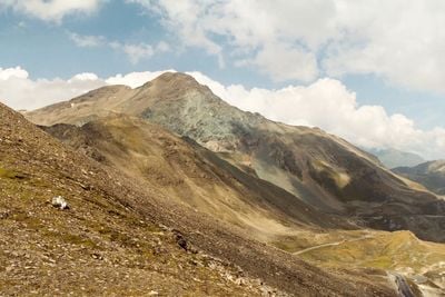
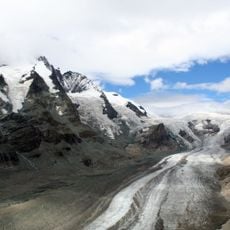
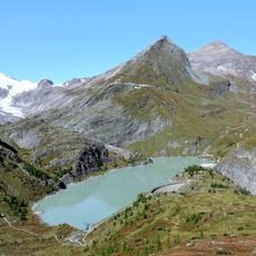
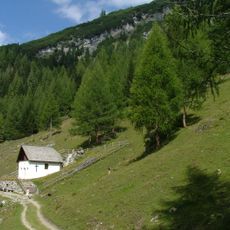
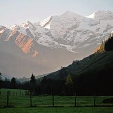
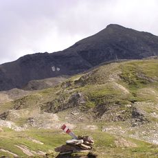
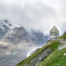
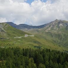
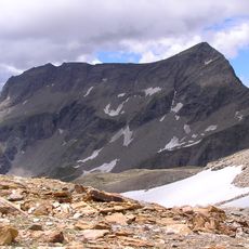
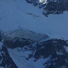
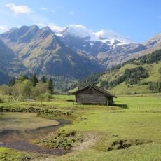
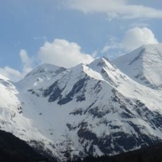
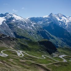
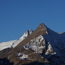
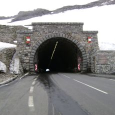
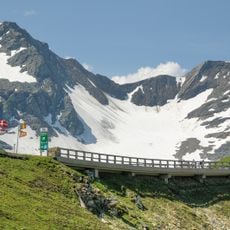
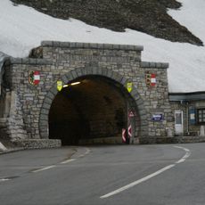
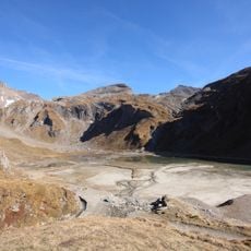
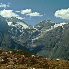
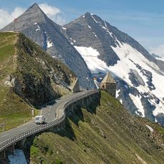
Brennkogel is a summit in the Glockner Group that rises to 3,018 meters and forms the border between Carinthia and Salzburg provinces. The peak sits between Heiligenblut and Fusch an der Großglocknerstraße with slopes covered in Alpine terrain and rock formations.
The mountain remained relatively unknown until August 2022, when radio amateur Richard OE5FFE made the first documented radio transmission from the summit. This pioneering activity brought the peak to the attention of the amateur radio community and established it as a destination for future climbers.
The summit attracts amateur radio operators who climb here to transmit from high peaks as part of their hobby. This combination of mountaineering and wireless communication creates a small community united by shared interests.
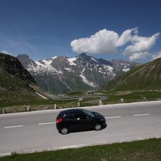
The climb requires mountaineering experience and proper gear, as weather conditions can shift rapidly at this altitude. Plan your ascent during stable weather windows and bring warm clothing, a hat, and protective equipment.
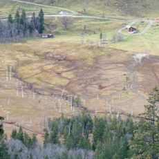
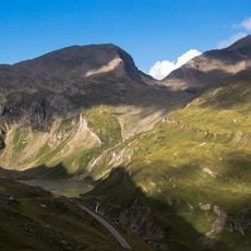
The summit sits in a wildlife corridor where eagles and chamois can be spotted in their natural environment. This position between two valleys makes it a valuable location for observing Alpine animals while climbing.
The community of curious travelers
AroundUs brings together thousands of curated places, local tips, and hidden gems, enriched daily by 60,000 contributors worldwide.