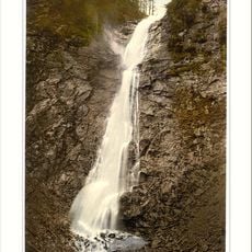
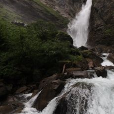
Bricciuskapelle Heiligenblut, Religious chapel in Heiligenblut, Austria.
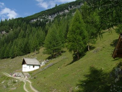
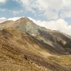
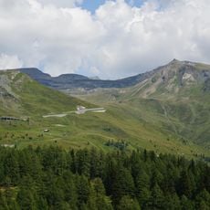
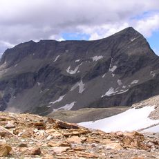
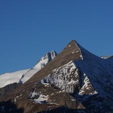
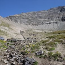
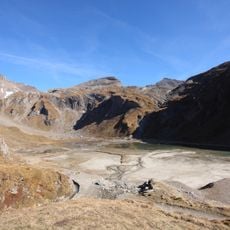
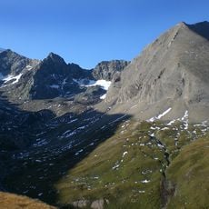
The Bricciuskapelle is a small chapel perched on the Sattelalpe in the upper Mölltal valley at about 1,630 meters (5,350 feet) elevation along a steep mountainside. The structure stands beside a natural spring and is accessible via a hiking trail that passes through an Alpine flower zone.
A chapel at this location was first documented in 1271, built upon an ancient pagan spring sanctuary. The current building was reconstructed in 1872 based on the original design.
The baroque interior displays scenes from the Briccius legend, a Danish prince whose story is deeply connected to this place. Visitors can see these depictions telling of a tragic Alpine crossing.
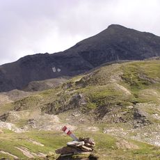
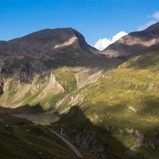
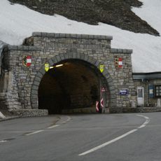
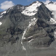
The site is reachable only on foot via a mountain trail that takes several hours and requires solid hiking experience. There are no facilities along the way, so bring plenty of water and snacks.
According to local legend, farmers discovered three green ears of wheat in the snow on Christmas in the year 914, leading to the finding of a Danish prince's remains. The chapel still preserves a relic connected to this ancient story.
Location: Heiligenblut
GPS coordinates: 47.05532,12.78964
Latest update: December 6, 2025 17:45
Austria extends well beyond Vienna and Salzburg. Away from major tourist routes lie natural monuments and historical sites that reveal the country's geological and cultural heritage. From the Eisriesenwelt ice caves near Werfen to medieval castles such as Hochosterwitz in Carinthia, this collection...
Grossglockner High Alpine Road
5 km
Kaiser-Franz-Josefs-Höhe
3.7 km
Stausee Margaritze
2.3 km
Brennkogel
5.3 km
Fuscherkarkopf
5.9 km
Spielmann
4.2 km
Wilhelm-Swarovski-Beobachtungswarte
3.5 km
Schareck
5.6 km
Racherin
2.9 km
Großglockner Gletscherbahn
3.7 km
Der Rinner
5.7 km
Kapuziner
5.2 km
Leiterfall
542 m
Großglockner-Hochalpenstraße in Heiligenblut (KG Zlapp und Hof)
5 km
Gößnitzfall
2.2 km
Großglockner-Hochalpenstraße in Fusch
5 km
Sinwelleck
5.3 km
Schartenkopf
4.6 km
Großglockner-Hochalpenstraße in Rauris
5 km
Kloben
4.9 km
Großglockner-Hochalpenstraße in Heiligenblut (KG Apriach)
5 km
Sonderschutzgebiet Gamsgrube
5.7 km
Nassfeld
3.9 km
Schwerteckkees
4.5 km
Hohenwartkees
5.6 km
Äußeres Bockkar
6 km
Glocknerkarkamp
5.9 km
Kellersbergkees
5.4 kmVisited this place? Tap the stars to rate it and share your experience / photos with the community! Try now! You can cancel it anytime.
Discover hidden gems everywhere you go!
From secret cafés to breathtaking viewpoints, skip the crowded tourist spots and find places that match your style. Our app makes it easy with voice search, smart filtering, route optimization, and insider tips from travelers worldwide. Download now for the complete mobile experience.
A unique approach to discovering new places❞
— Le Figaro
All the places worth exploring❞
— France Info
A tailor-made excursion in just a few clicks❞
— 20 Minutes