Racherin, Mountain summit in Hohe Tauern National Park, Austria.
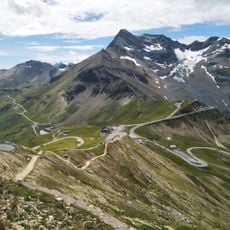
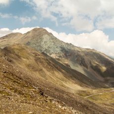
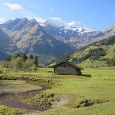
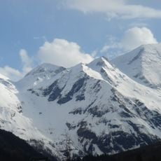
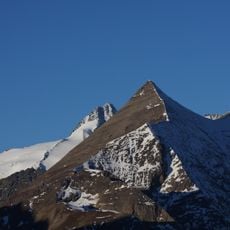
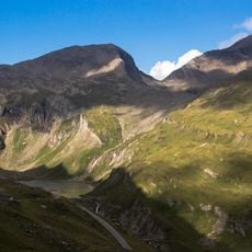
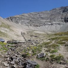
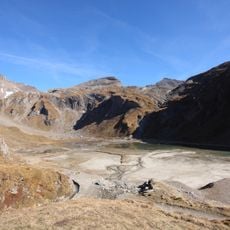
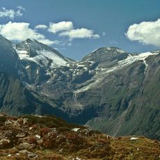
Racherin is a 3,092 m summit in the Glockner Group of the High Tauern, about 6 km northwest of Heiligenblut in Carinthia. Its south slope holds the Albitzen, a broad alpine pasture area, with an unmanaged alm hut at roughly 2,400 m. Above it, the route follows a prominent gully of fine scree to about 2,950 m before crossing gentler, bratsch-covered ground to the top.
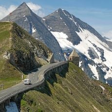
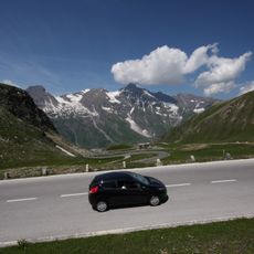
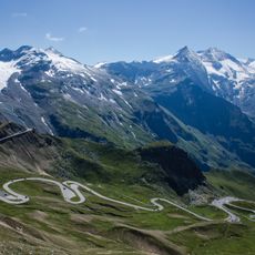
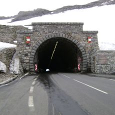
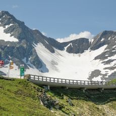
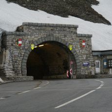
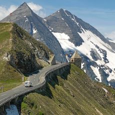
The region became more accessible when the Großglockner High Alpine Road opened in the early 20th century. This mountain pass connected valleys and made high-altitude climbing in the area far more feasible for visitors.
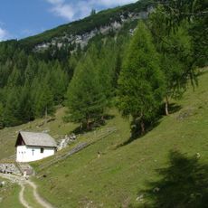
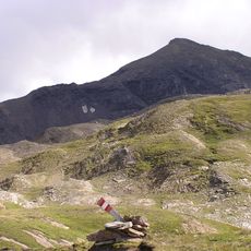
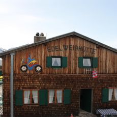
The route crosses the Albitzen, a broad alm area on the southern slopes, where track traces fade and walkers pass an unmanaged alm hut at about 2,400 m. The name Racherin is used for the whole mountainside above these pastures, which belong to the alpine farming landscape around Heiligenblut.
The climb from Schöne Wand parking area takes about three hours on partially unmarked routes over steep terrain and loose rock. Visitors need solid footing and navigation skills, as the trail crosses exposed sections where focus remains important throughout.
The western gully between Albitzenspitz and Racherin transforms into prime ski touring terrain during spring months when snow cover is firm. Experienced mountaineers seek out these conditions, which occur only during a narrow window each year.
The community of curious travelers
AroundUs brings together thousands of curated places, local tips, and hidden gems, enriched daily by 93,465 contributors worldwide.