Grossglockner High Alpine Road, Mountain road in Hohe Tauern National Park, Austria
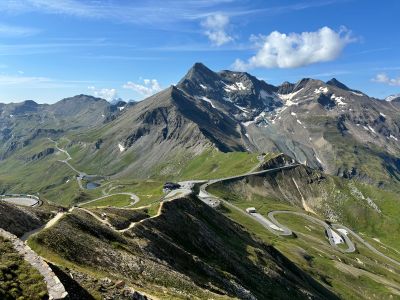
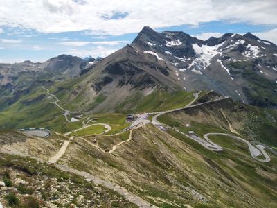
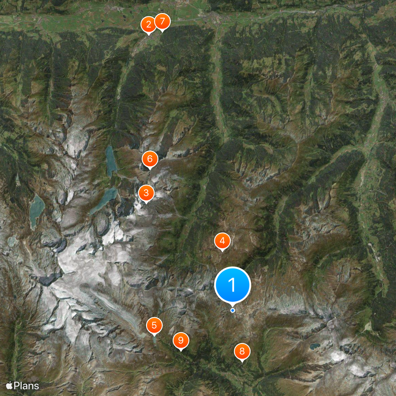
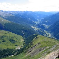
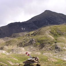
Grossglockner High Alpine Road is a toll mountain road in Hohe Tauern National Park, Austria, extending 48 kilometers with 36 bends. It links the provinces of Salzburg and Carinthia and reaches 2504 meters in elevation at Hochtor.
Construction began in 1924 and provided jobs for thousands of workers during the economic downturn following the 1929 stock market crash. The road opened in 1935 and became one of the most traveled scenic routes in the Alps.
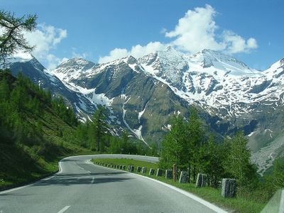
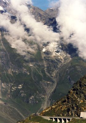
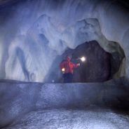
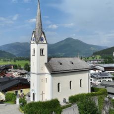
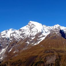
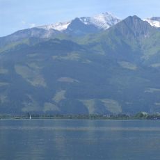
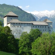
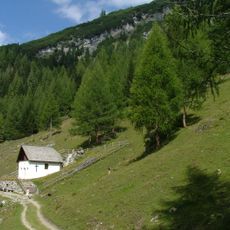
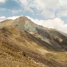
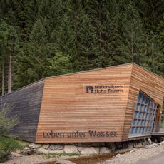
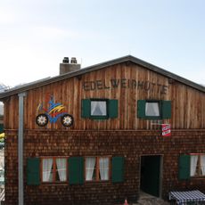
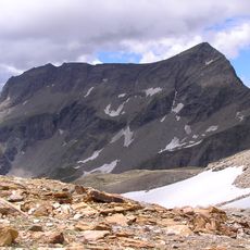
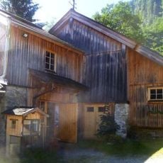
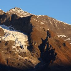
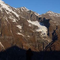
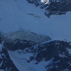
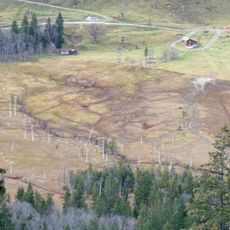
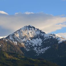
The name comes from Grossglockner, the tallest peak in Austria at 3798 meters, visible from several points along the route. Along the way, exhibitions explain how people live in the Alps and how they adapt to the extreme conditions of this high mountain environment.
The toll road opens from early May through late October, with snow clearing operations carried out each year to keep it accessible during the season. Traveling early in the day helps avoid crowds at viewpoints and often brings clearer views of the peaks.
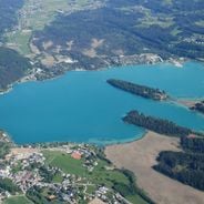
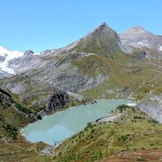
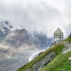
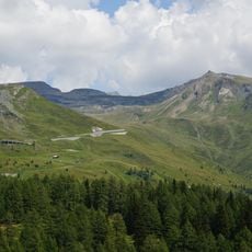
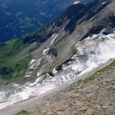
At Edelweiss Spitze, positioned at 2571 meters (8435 feet), visitors can see more than 30 peaks above 3000 meters (9842 feet), including Grossglockner itself. The viewing platform there turns gently, allowing a full panorama of the entire mountain range without changing position.
The community of curious travelers
AroundUs brings together thousands of curated places, local tips, and hidden gems, enriched daily by 60,000 contributors worldwide.