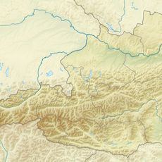
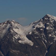
Großes Wiesbachhorn, Alpine summit in Hohe Tauern, Austria
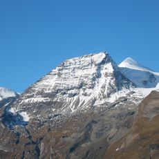
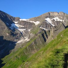
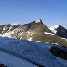
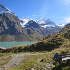
Großes Wiesbachhorn is an Alpine peak reaching 3,564 meters (11,693 feet) in the Hohe Tauern range, making it one of the major summits in this mountain chain. The Heinrich Schwaiger Haus hut sits at around 2,176 meters (7,139 feet) and serves as the primary base for climbers attempting the ascent.
The first recorded ascent took place in the 18th century, accomplished by two local farmers from Fusch. Nearly 200 years later, in 1924, mountaineers Franz Riegele and Willo Welzenbach made a significant ascent of the Northwest Face, introducing advanced climbing techniques.
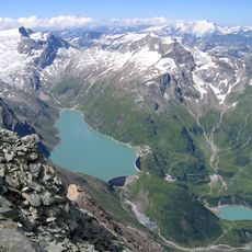
The mountain takes its name from the Wiesbach stream that flows through the valley below. This naming reflects how the local landscape and water systems have shaped how people refer to the surrounding peaks.
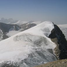
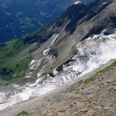
The best season to attempt this climb is June through September, when conditions are safest and higher elevations are relatively clear of snow. You should be a confident hiker comfortable with steep terrain and scrambling, as the final push to the summit involves sustained altitude gain and rocky, exposed sections.
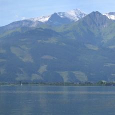
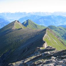
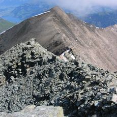
The eastern face drops nearly 2,300 meters directly to the Fuscher Ache river valley, creating one of the most extreme elevation changes from summit to riverbed found anywhere in the Eastern Alps. This steep slope makes the mountain instantly recognizable from a distance and shapes how the surrounding landscape flows downward.
The community of curious travelers
AroundUs brings together thousands of curated places, local tips, and hidden gems, enriched daily by 60,000 contributors worldwide.