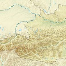
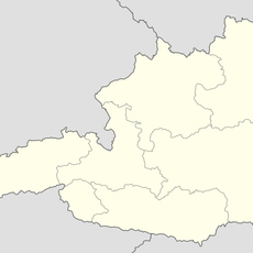
Kempsenkopf, Mountain summit in Glockner Group, Austria
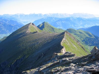
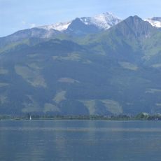
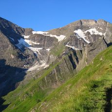
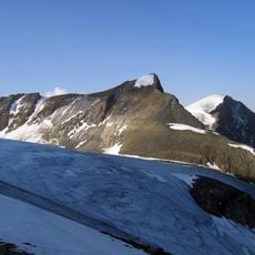
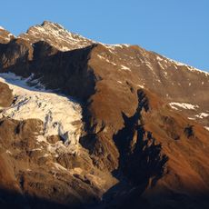
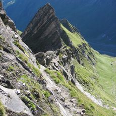
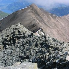
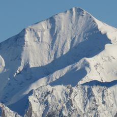
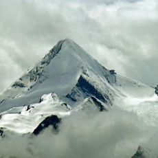
Kempsenkopf is a mountain summit in the Glockner Group located within the Hohe Tauern range of Salzburg state, standing at 3,093 meters. The peak features steep rocky terrain and a ridgeline equipped with safety cables to assist climbers traversing across.
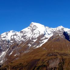
The mountain was systematically surveyed during 19th century Alpine cartographic efforts aimed at mapping the region. Its documentation contributed to the expanded knowledge of the Glockner Group and surrounding peaks.
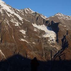
The summit serves as a waypoint in traditional mountain climbing circuits, where alpinists regularly pass through on major expeditions. Its location makes it a meaningful marker within the network of established climbing routes across the high peaks.
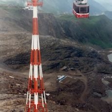
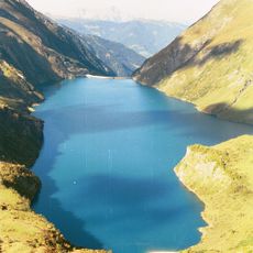
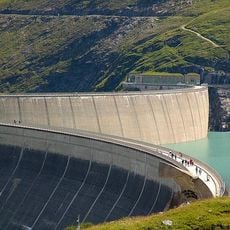
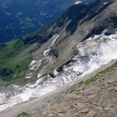
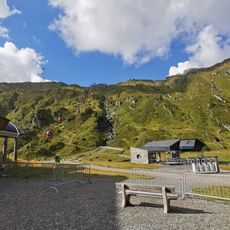
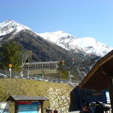
Two main routes reach the summit: one from Gleiwitzer Hütte and another from the Mooserboden reservoir, each taking roughly 3 to 4 hours of hiking. Both paths feature installed safety cables, though Alpine experience and proper gear are still necessary.
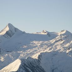
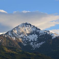
The peak holds the distinction of being the northernmost named ridge above 3,000 meters across the entire Alpine range. This unusual geographic characteristic makes it of special cartographic interest to mountain researchers and alpinists.
The community of curious travelers
AroundUs brings together thousands of curated places, local tips, and hidden gems, enriched daily by 60,000 contributors worldwide.