Hohe Tauern National Park, National park in central Alpine region, Austria
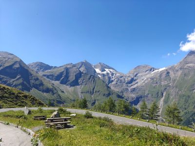
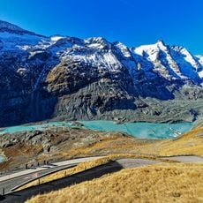
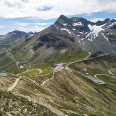
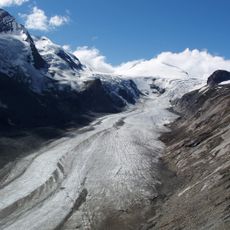
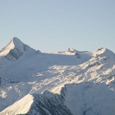
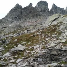
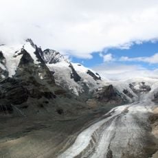
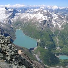
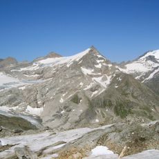
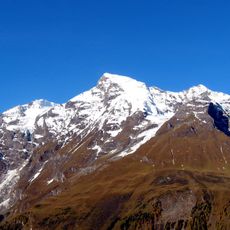
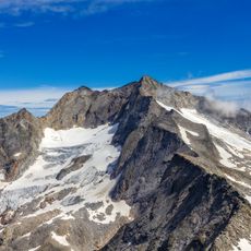
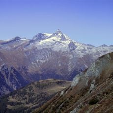
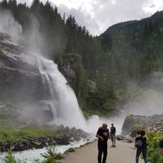
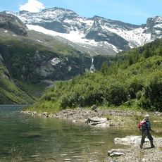
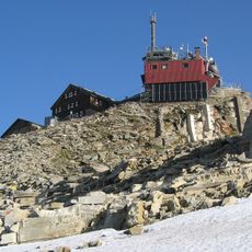
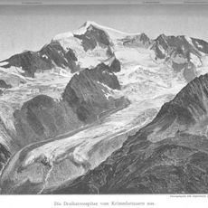
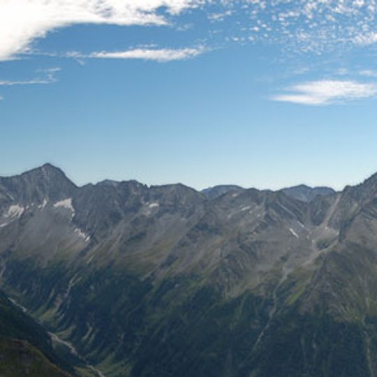
Hohe Tauern National Park spreads across three Austrian states and contains interconnected mountain terrain ranging from glaciers and Alpine meadows to deep valleys. The landscape features steep rock formations, rushing rivers, and forested slopes that descend into settlements at lower elevations.
Hohe Tauern National Park was founded in 1981, making it Austria's first national park; Carinthia joined that year, Salzburg in 1984 and Tyrol in 1992. Its roughly 1,800 km² are largely owned by farming families, with about a quarter held by the Austrian Alpine Club since the First World War. The three-state border meets at the Eiskögele.
Alpine herding traditions shape the landscape, with shepherds moving livestock seasonally across mountain pastures as they have done for centuries. This practice remains visible in the scattered farmsteads and grazing patterns that visitors encounter throughout the valleys.
Access comes through various valleys with visitor centers in local towns that offer exhibitions and guided walks through different zones. Conditions change rapidly at these elevations, so visitors need proper mountain footwear, layers, and should plan for sudden weather shifts.
The park's roughly 1,800 km² are not state-owned: about two thirds belong to regional farming families, and the Austrian Alpine Club (ÖAV) holds some 333 km², around a quarter of the area, bought since World War I. This mix of a mountaineering association and active farmers as main owners is unusual for a national park.
The community of curious travelers
AroundUs brings together thousands of curated places, local tips, and hidden gems, enriched daily by 92,815 contributors worldwide.