Kölnbrein Dam, Arch dam in Malta Valley, Austria
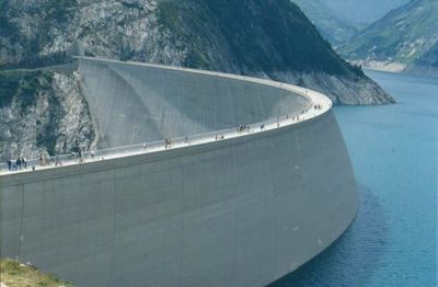
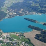
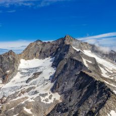
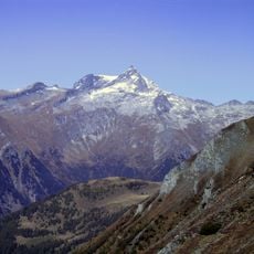
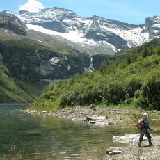
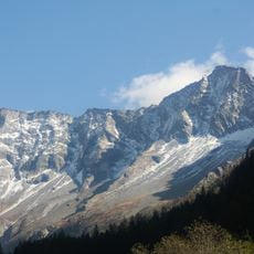
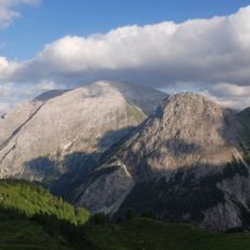
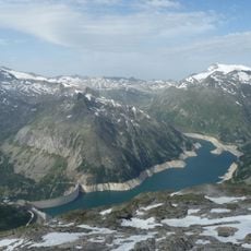
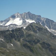
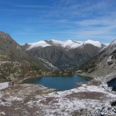
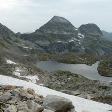
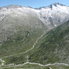
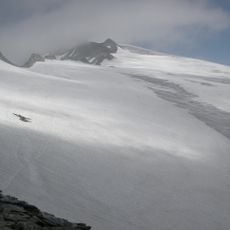
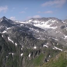
Kölnbrein Dam is an arch dam in the Malta Valley within the Hohe Tauern range, stretching 626 meters between rock walls and holding back a reservoir at 1,902 meters elevation. The concrete structure rises 200 meters above the reservoir floor and collects meltwater from surrounding glaciers and mountain slopes for power generation.
Construction work on the dam began in the early 1970s and finished in 1977 when the power plant started operations. The project marked an important step in expanding hydroelectric capacity in Austria after the Second World War.
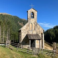
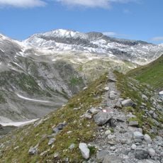
The name Kölnbrein comes from alpine pastures that once covered the higher slopes above the valley where farmers grazed their cattle during summer months. Visitors reach the dam along a winding mountain road carved through granite tunnels, a route that opens only during warmer months when snow clears from the passes.
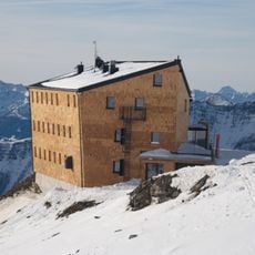
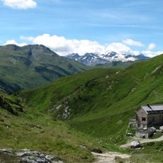
Between May and October, guides lead visitors through the interior of the dam on hourly tours that start at the mountain hotel near the base. Warm clothing is advisable even in summer since temperatures at this elevation stay cool and wind often sweeps across the crest.
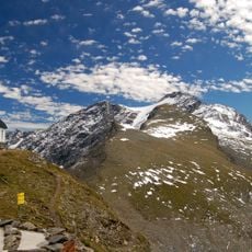
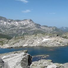
The Airwalk viewing platform extends outward from the dam crest, letting visitors look straight down 200 meters to the water surface below. On calm days, surrounding peaks reflect clearly in the turquoise water of the reservoir.
The community of curious travelers
AroundUs brings together thousands of curated places, local tips, and hidden gems, enriched daily by 60,000 contributors worldwide.