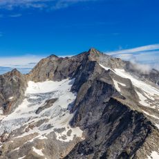
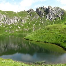
Grosser Hafner, Mountain summit in Hohe Tauern, Austria.
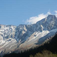
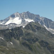
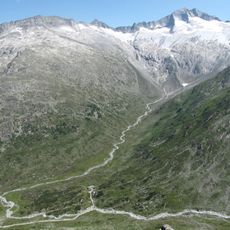
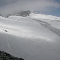
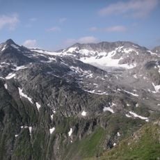
Grosser Hafner is a mountain summit in the Hohe Tauern that rises to 3,076 meters (10,108 feet). Glaciers cling to its northern, western, and eastern faces and form part of the Ankogel Group.
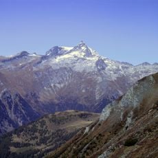
The summit was first documented in 1825 when military mapmaker Gorizzuti reached the peak during surveying work. This early expedition contributed to the precise mapping of the Alps.
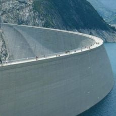
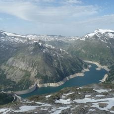
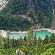
The mountain area transformed from a historical mining region into a modern hydropower generation center, marked by the construction of Kölnbrein Dam.
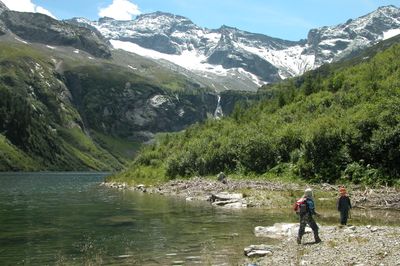
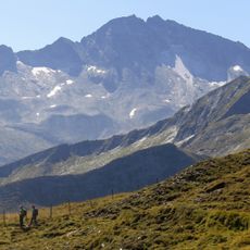
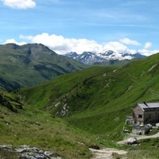
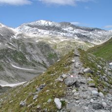
The climb starts from Malta Valley and follows marked paths to Kattowitzer Hütte at 2,319 meters (7,608 feet). From there, the route heads along the southwest ridge toward the summit.
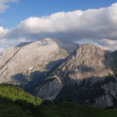
It stands as the easternmost peak above 3,000 meters in the High Tauern and forms the endpoint of the main Alpine chain moving east. Few visitors realize that from the summit, the foothills to the east become visible.
The community of curious travelers
AroundUs brings together thousands of curated places, local tips, and hidden gems, enriched daily by 60,000 contributors worldwide.