Säuleck, Alpine summit in Carinthia, Austria
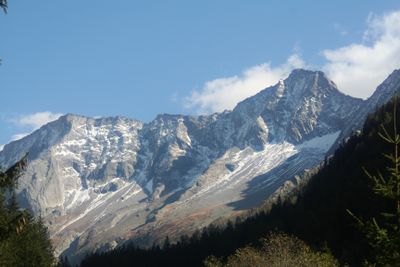
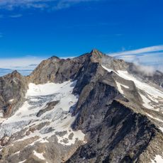
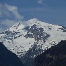
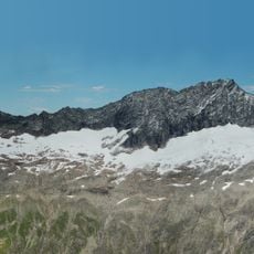
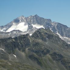
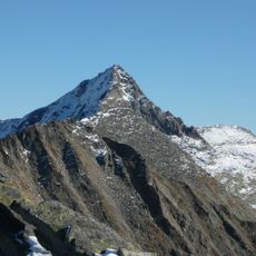
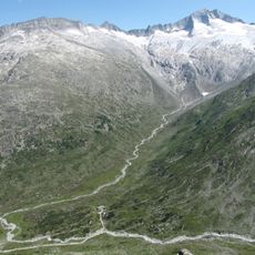
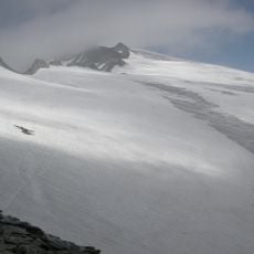
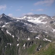
Sauleck is an Alpine summit reaching 3086 meters within the Ankogel mountain group, featuring steep granite slopes with numerous glacial formations on its flanks. The steep terrain shows characteristic rock formations shaped by ancient glacier movement over time.
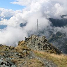
The summit received a seven-meter-high pyramid in 1823 for military trigonometric surveys conducted by First Lieutenant von Catharin in 1825. This stone structure served as a measurement point for mapping the Alpine terrain in this region.
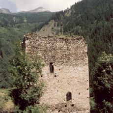
The mountain paths feature stone markers and crosses that local Alpine communities placed over many generations to help travelers find their way through this high terrain.
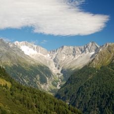
Climbers can reach the mountain via established routes from the towns of Malta or Mallnitz, with summer months offering the best climbing conditions. The warmer season typically sees less snow and more stable climbing grounds.
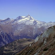
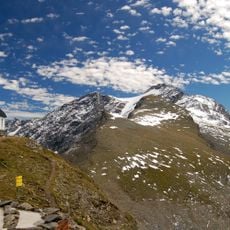
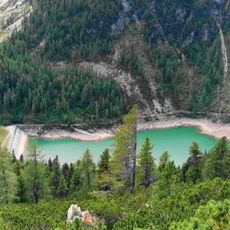
From the summit, visitors enjoy unobstructed views of the Hochalmspitze peak and the Kölnbrein Dam, Austria's tallest hydroelectric barrier. These two landmarks create a visual line that guides the eye across the valley to the distant mountains.
The community of curious travelers
AroundUs brings together thousands of curated places, local tips, and hidden gems, enriched daily by 60,000 contributors worldwide.