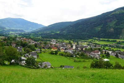
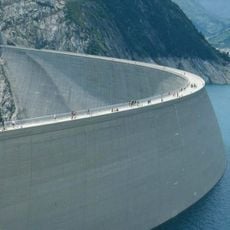
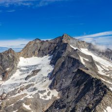
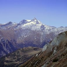
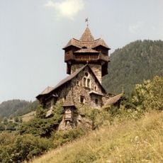
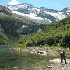
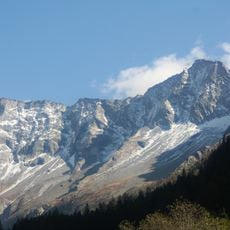
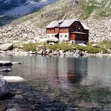
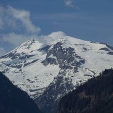
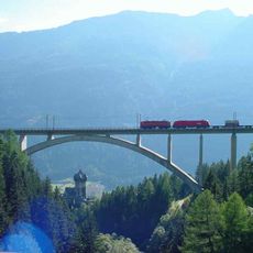
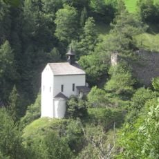
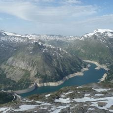
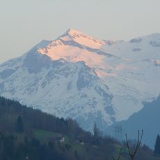
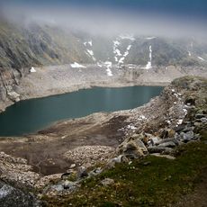
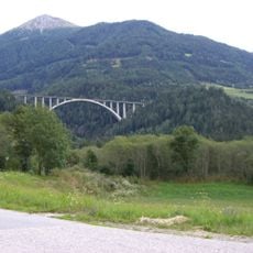
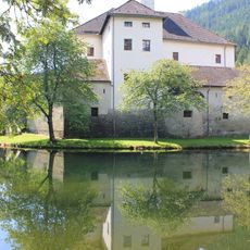
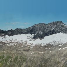
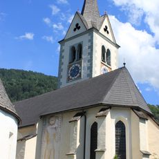
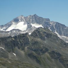
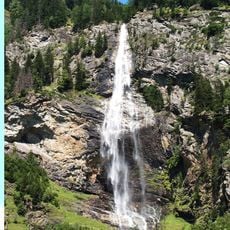
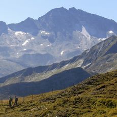
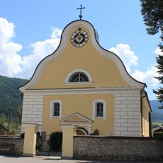
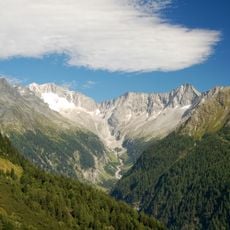
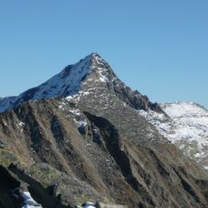
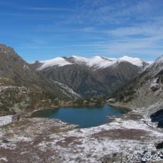
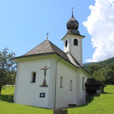
Malta, municipality in Spittal an der Drau District, Carinthia, Austria
Location: Spittal an der Drau District
Elevation above the sea: 843 m
Email: malta@ktn.gde.at
Website: http://maltatal.com
GPS coordinates: 46.96667,13.51667
Latest update: April 10, 2025 22:48
Kölnbrein Dam
18.4 km
Hochalmspitze
15.9 km
Ankogel
22.4 km
Falkenstein Castle
21.6 km
Grosser Hafner
14.5 km
Säuleck
17.7 km
Arthur-von-Schmid-Haus
19.1 km
Reißeck
11.8 km
Falkensteinbrücke
21.5 km
Burgruine Falkenstein (Oberfalkenstein)
21.6 km
Großer Sonnblick
11.6 km
Kölnbrein Reservoir
19.5 km
Mittlerer Sonnblick
11.6 km
Großer Mühldorfer See
12 km
Pfaffenbergbrücke
20.8 km
Schloss Dornbach
2.9 km
Tischlerspitze
24.1 km
Pfarrkirche Malta
1.5 km
Großelendkopf
16.1 km
Fallbach Waterfall
3 km
Kölnbreinspitze
17.4 km
Evangelische Kirche Fischertratten
3.6 km
Schneewinkelspitze
16.9 km
Burgruine Ödenfest
1.1 km
Tristen Spitze
15.8 km
Oberer Rotgüldensee
15.9 km
Filialkirche Dornbach
3.4 km
Johannes der Taeufer, Pfaffenberg
21.4 kmReviews
Visited this place? Tap the stars to rate it and share your experience / photos with the community! Try now! You can cancel it anytime.
Discover hidden gems everywhere you go!
From secret cafés to breathtaking viewpoints, skip the crowded tourist spots and find places that match your style. Our app makes it easy with voice search, smart filtering, route optimization, and insider tips from travelers worldwide. Download now for the complete mobile experience.
A unique approach to discovering new places❞
— Le Figaro
All the places worth exploring❞
— France Info
A tailor-made excursion in just a few clicks❞
— 20 Minutes