Enable Location

We need your location to show you interesting places around you

Discover nearby places

Find interesting locations and hidden gems around you

Precise directions

Get accurate directions and distances to places

Your location is never shared with other users. It's only used when you tap the location button.

Log in to your account

Start exploring — it's free

Trusted by 62,586 travelers worldwide

Continue with Google
Continue with Apple
or

We will send you a code to connect

By continuing, you accept our Terms and Conditions and our Privacy Policy

Check your inbox

We've sent a pincode in your inbox. Please enter the code below.

Spittal an der Drau District

Spittal an der Drau District, Administrative district in Carinthia, Austria

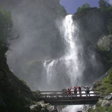
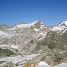
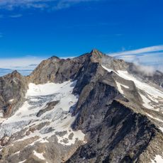
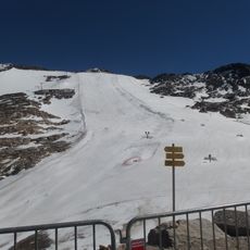
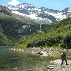
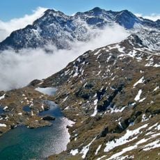
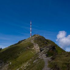
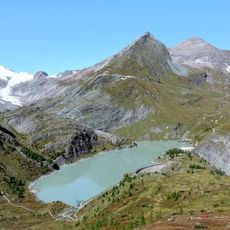
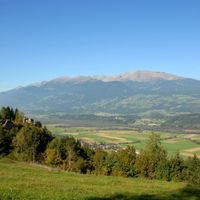
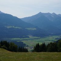
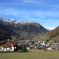
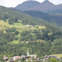
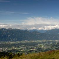
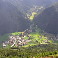
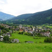
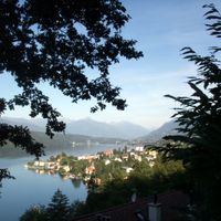
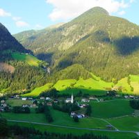
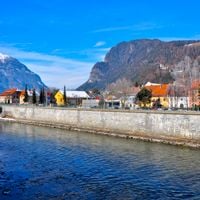
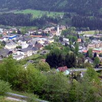
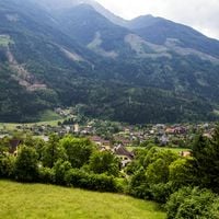
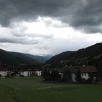
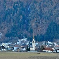
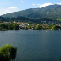
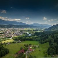
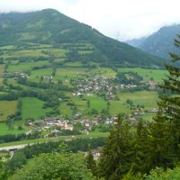
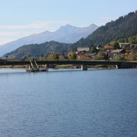
Spittal an der Drau district is an administrative area in Carinthia with mountainous terrain that includes parts of the High Tauern and Nock Mountains. The region is made up of many municipalities connected by an extensive network of roads.

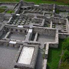
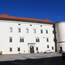
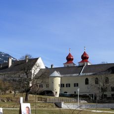
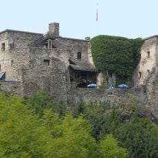
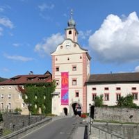
The area took shape as an administrative region after the Habsburg Empire strengthened its control over Carinthia during the late Renaissance period. These administrative boundaries continue to define how the territory is organized today.

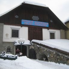
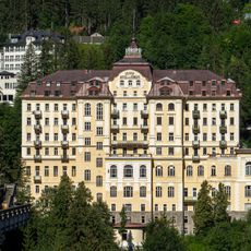
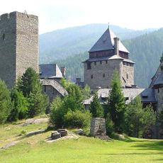
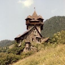
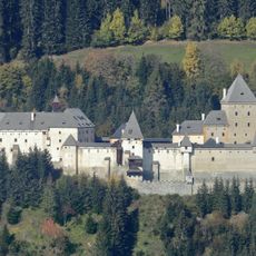
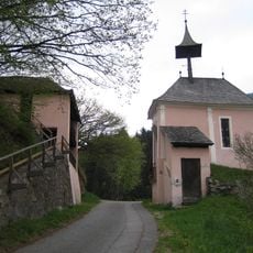
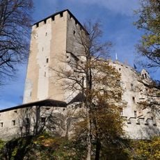
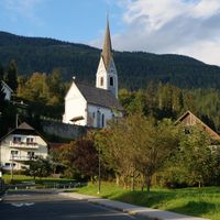
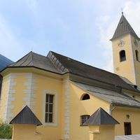
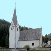
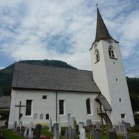
The district maintains traditional Austrian customs and festivals that happen throughout the year in its towns and villages. Renaissance architecture shapes how many settlements look, showing how people have built and lived in this region across generations.

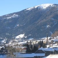
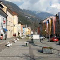
It's easiest to get your bearings by focusing on the main town of Spittal an der Drau, which serves as the principal transportation center. From there, villages and towns are easy to reach by car or local transport connections.

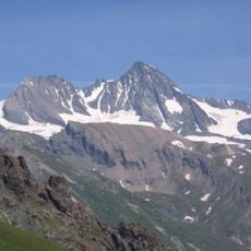
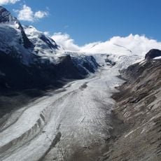
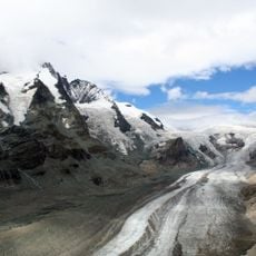
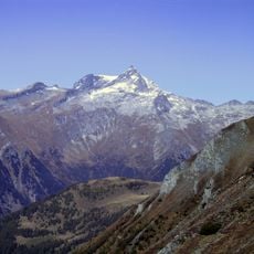
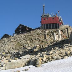
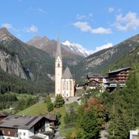
The district contains Mount Grossglockner, standing at over 3,798 meters, which is the highest peak in all of Austria. This famous summit attracts climbers and nature lovers from around the world.

The community of curious travelers

AroundUs brings together thousands of curated places, local tips, and hidden gems, enriched daily by 60,000 contributors worldwide.

Start exploring
Location
Elevation above the sea
922 m
Shares border with
Hermagor District, Lienz District, Villach-Land District, Feldkirchen District, Tamsweg District, Zell am See District, Sankt Johann im Pongau District, Murau District
GPS coordinates
46.83300,13.30600
Latest update
December 7, 2025 19:30
« Spittal an der Drau District - Administrative district in Carinthia, Austria » is provided by Around Us (aroundus.com). Images and texts are derived from Wikimedia project under a Creative Commons license. You are allowed to copy, distribute, and modify copies of this page, under the conditions set by the license, as long as this note is clearly visible.

Discover hidden gems everywhere you go!

From secret cafés to breathtaking viewpoints, skip the crowded tourist spots and find places that match your style. Our app makes it easy with voice search, smart filtering, route optimization, and insider tips from travelers worldwide. Download now for the complete mobile experience.

Around Us App Screenshot

A unique approach to discovering new places

Le Figaro

All the places worth exploring

France Info

A tailor-made excursion in just a few clicks

20 Minutes

Around Us
Travel Guide & Maps
Download

Send to your phone

QR Code
1

Open the camera app on your mobile.

2

Point at the QR code with your camera. A notification will appear.

3

Tap the notification to open the link.