Enable Location

We need your location to show you interesting places around you

Discover nearby places

Find interesting locations and hidden gems around you

Precise directions

Get accurate directions and distances to places

Your location is never shared with other users. It's only used when you tap the location button.

Weißensee

Log in to your account

Start exploring — it's free

Trusted by 62,590 travelers worldwide

Continue with Google
Continue with Apple
or

We will send you a code to connect

By continuing, you accept our Terms and Conditions and our Privacy Policy

Check your inbox

We've sent a pincode in your inbox. Please enter the code below.

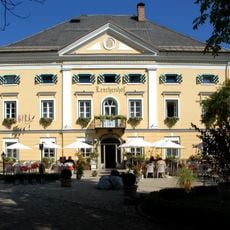
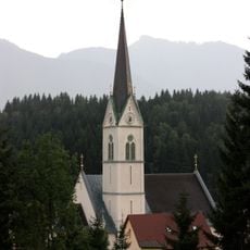
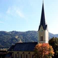
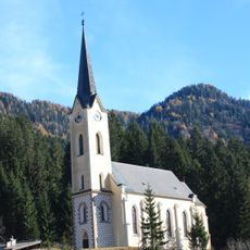
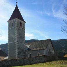
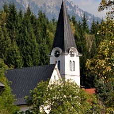
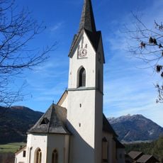
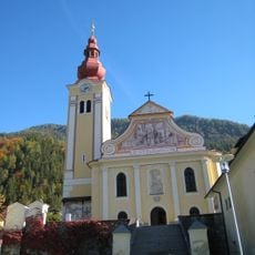
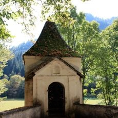
Weißensee, Nature park municipality in Spittal an der Drau district, Austria.

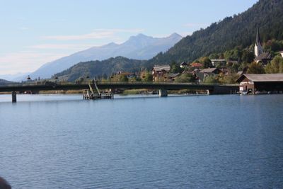
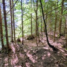
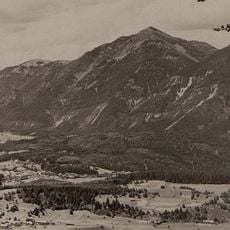
Weißensee is a municipality in the Spittal an der Drau district centered around a large mountain lake surrounded by the Gailtaler Alps. The settlement sits at about 930 meters elevation with forested slopes and mountain peaks that define the valley's character.

The municipality was formed in 1850 from the former Techendorf commune and renamed in 1968 to reflect the region's growing tourism focus. This name change marked a turning point in the local identity and economic direction.

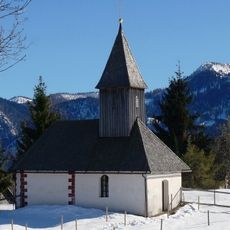
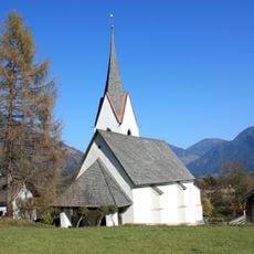
The municipality maintains a notable Protestant majority population, with 73.6 percent of residents identifying with this religious denomination as of 2001.

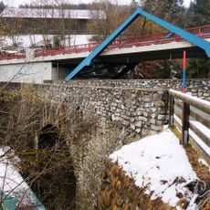
The municipality is accessible via the B87 road, which connects different valleys in the region and links the Drau and Gail valleys. Year-round access is available, though winter conditions should be considered.

In winter, the lake transforms into Europe's largest natural ice surface, creating a remarkable spectacle for ice sports enthusiasts and visitors. This transformation depends on sufficiently cold temperatures and makes the location a rare winter destination.

The community of curious travelers

AroundUs brings together thousands of curated places, local tips, and hidden gems, enriched daily by 60,000 contributors worldwide.

Start exploring
Elevation above the sea
945 m
Shares border with
Paternion
GPS coordinates
46.71667,13.30000
Latest update
December 20, 2025 15:36
« Weißensee - Nature park municipality in Spittal an der Drau district, Austria » is provided by Around Us (aroundus.com). Images and texts are derived from Wikimedia project under a Creative Commons license. You are allowed to copy, distribute, and modify copies of this page, under the conditions set by the license, as long as this note is clearly visible.

Discover hidden gems everywhere you go!

From secret cafés to breathtaking viewpoints, skip the crowded tourist spots and find places that match your style. Our app makes it easy with voice search, smart filtering, route optimization, and insider tips from travelers worldwide. Download now for the complete mobile experience.

Around Us App Screenshot

A unique approach to discovering new places

Le Figaro

All the places worth exploring

France Info

A tailor-made excursion in just a few clicks

20 Minutes

Around Us
Travel Guide & Maps
Download

Send to your phone

QR Code
1

Open the camera app on your mobile.

2

Point at the QR code with your camera. A notification will appear.

3

Tap the notification to open the link.