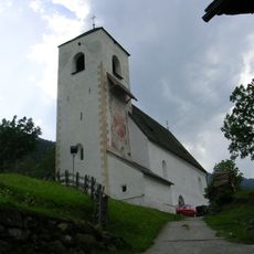
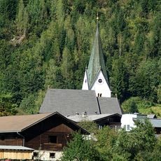
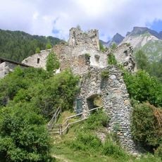
Venediger Group, Mountain range in East Tyrol and Salzburg, Austria
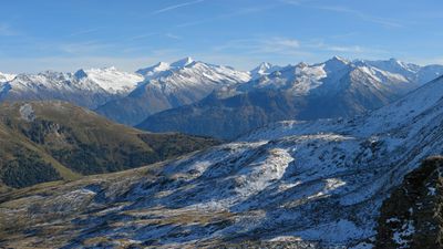
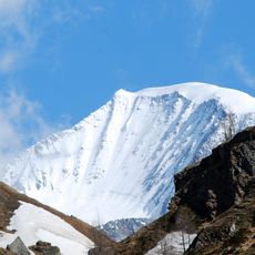
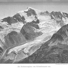
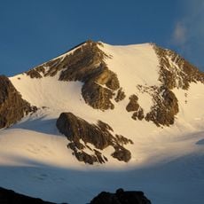
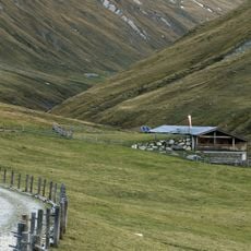
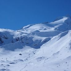
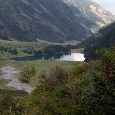
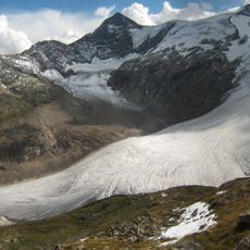
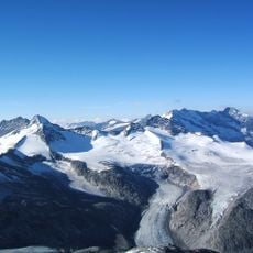
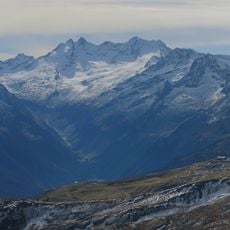
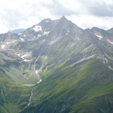
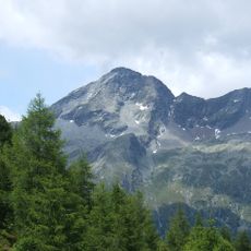
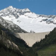
The Venediger Group is a mountain massif spread across East Tyrol and Salzburg with extensive glaciers, high alpine meadows, and peaks above 3000 meters in elevation. The terrain includes steep slopes, verdant valleys, and snow-capped summits that create a varied landscape.
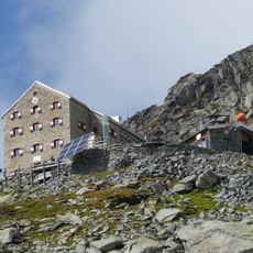
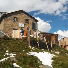
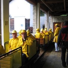
The Johannishütte was built in 1857 as the first mountain shelter in the Eastern Alps, marking the beginning of organized alpine access to these mountains. This shelter sparked the growth of tourism in the region and inspired the construction of other accommodations along mountain routes.
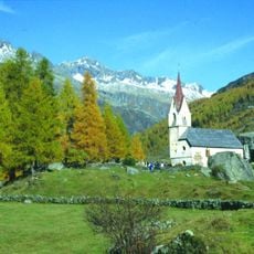
Mountain huts scattered across the region preserve traditional alpine ways of life and serve local cuisine that reflects how mountain communities feed themselves. Visitors experience this living culture directly through conversations with the people who run these shelters.
Hiking in high mountain terrain requires previous experience and weather can change quickly at elevation. Sturdy footwear, rain protection, and a map are essential when exploring the higher sections.
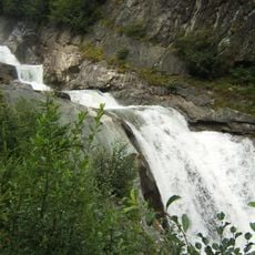
The Prägraten Nature Trail features educational stations along the path where visitors learn about local wildlife and glacial formations while walking through mountain streams. This trail blends learning with direct experience, helping people understand how the landscape was shaped by ice and continues to support animal life.
The community of curious travelers
AroundUs brings together thousands of curated places, local tips, and hidden gems, enriched daily by 60,000 contributors worldwide.