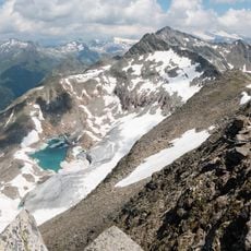
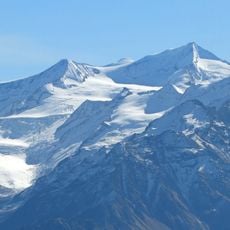
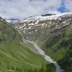
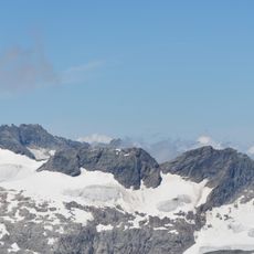
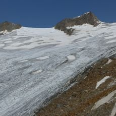
Schlatenkees glacier, Alpine glacier in Matrei in Osttirol and Prägraten am Großvenediger, Austria.
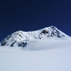
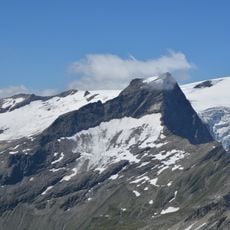
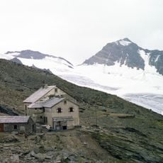
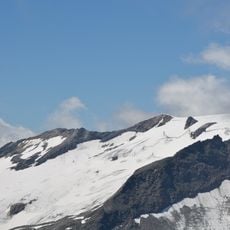
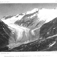
Schlatenkees is a glacier in the Venediger Group, east of the Großvenediger, on the territory of Matrei in Osttirol and Prägraten am Großvenediger. Its flat upper accumulation area, the Obere Keesboden, is framed by the Großvenediger (3,667 m), Rainerhorn (3,559 m) and Schwarze Wand (3,511 m); the ice then drops through an icefall to the Untere Keesboden at about 2,300 m. The tongue end lies at 2,100 m above a steep step. The Innergschlöß glacier path no longer reaches the ice, which can only be seen from a distance.
The glacier reached its greatest extent around 1850, when its tongue extended far down into the Gschlöss valley. Since then it has continuously retreated, reflecting the shifting climate in the Alps.
The name Kees, used for this and neighbouring glaciers, comes from an old Tyrolean word for glacier ice. Since 1978 the Gletscherweg Innergschlöß has led walkers through terrain the ice still covered around 1850; today the path stops short, and the ice is seen only from a distance.
The hike to the glacier surface is a half-day mountain walk from the valley that requires sturdy hiking boots and reasonable fitness. Starting early in the morning gives you better conditions and more time to explore before afternoon weather changes.
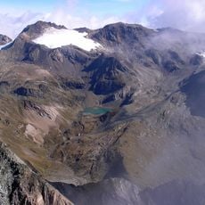
The Innergschlöß glacier path, laid out in 1978 on ground then still under ice, no longer reaches the ice at all; the glacier can only be seen from a distance. In 2025 the Lower Keesboden was largely ice-free, with a lake where the glacier had been.
The community of curious travelers
AroundUs brings together thousands of curated places, local tips, and hidden gems, enriched daily by 92,737 contributors worldwide.