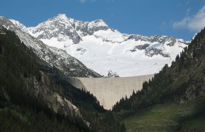
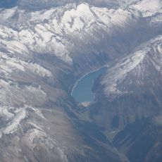
Zillergründl Dam, Arch dam in Zillertal Alps, Austria
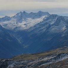
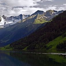
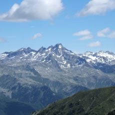
The Zillergründl Dam is an arch dam that spans 502 meters across the Ziller River at an elevation of 1,787 meters in the mountain range. It rises 186 meters high and holds water in a large reservoir for electricity production.
Work began on this arch dam in 1981 and finished in 1986 as part of a broader hydroelectric project in the Ziller region. The development was built to meet growing energy needs in the area.
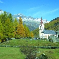
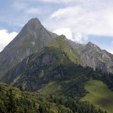
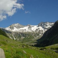
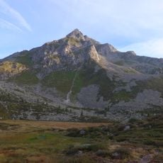
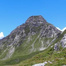
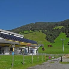
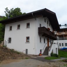
The Zillergrund valley sustains traditional Alpine herding, with farmers bringing livestock to high pastures each summer as families have done for centuries. This seasonal practice shapes how the landscape looks and feels throughout the year, connecting people to the mountains around them.
The site is reachable by a toll road from parking areas in the region, and bus services connect to the main access points. Weather at high elevation can change quickly, so sturdy footwear and layered clothing are helpful for anyone walking around the area.
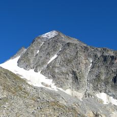
The dam sends water down through a dramatic drop of about 744 meters to power a plant far below, making it one of the steeper gravity-fed systems in the region. This extreme vertical difference is what made this particular location valuable for electricity generation.
The community of curious travelers
AroundUs brings together thousands of curated places, local tips, and hidden gems, enriched daily by 60,000 contributors worldwide.